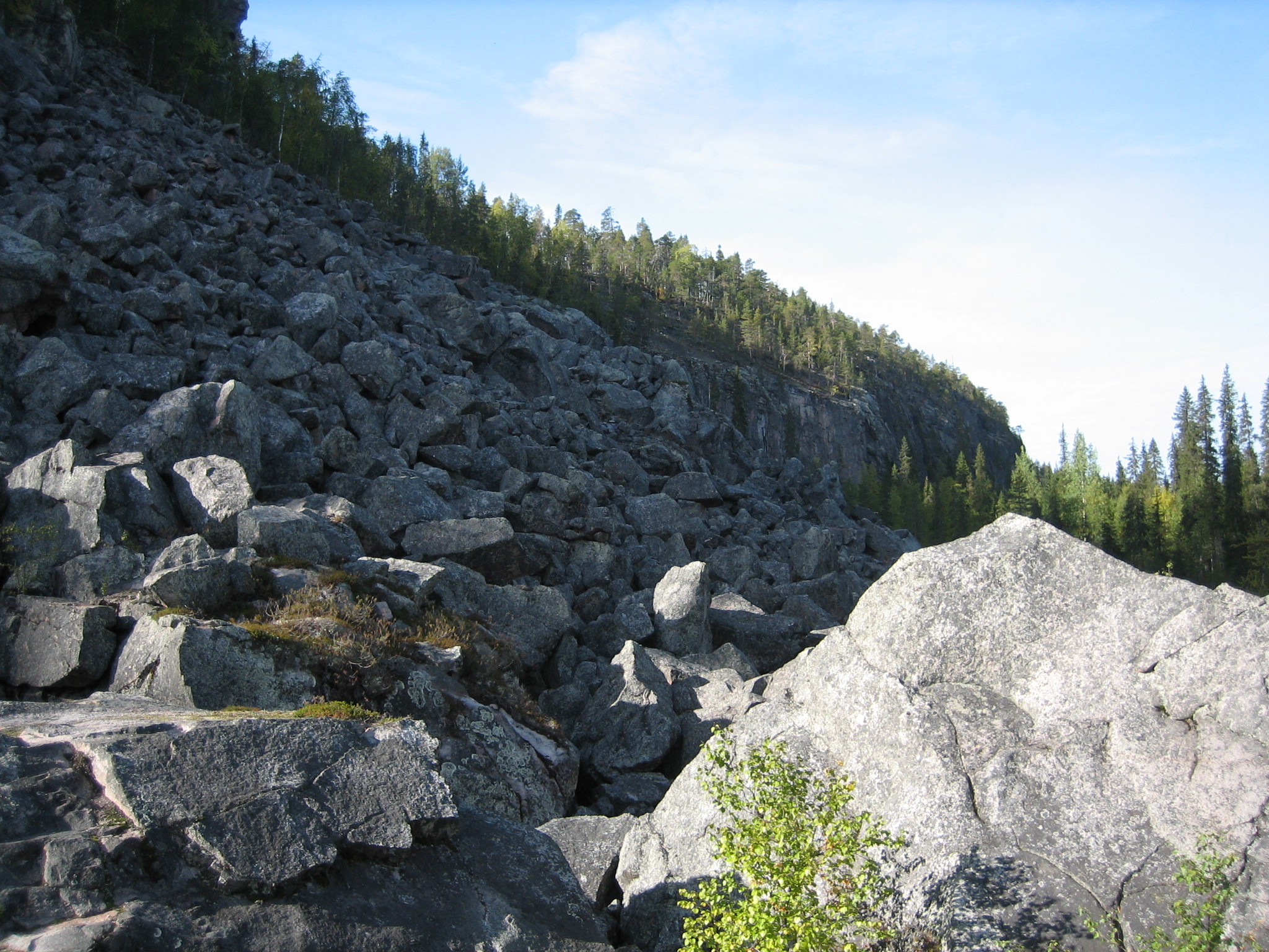
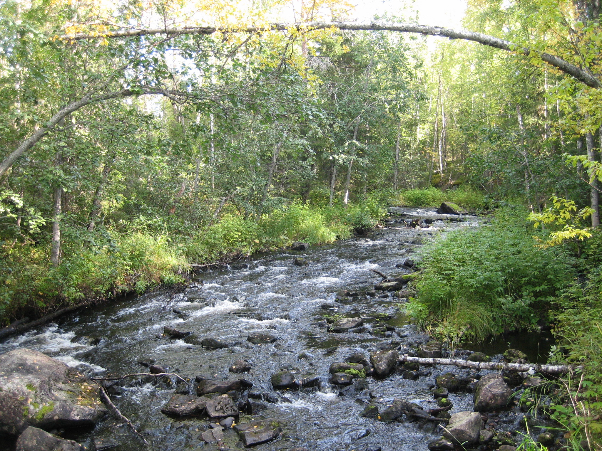
Hiking in Korouoma canyon in Lapland, part 2

As I menitoned in my post from 2013 Hiking-in-korouoma-canyon I have since then been dreaming of making more hikings in Korouoma. Finally this autumn I got this second chance.

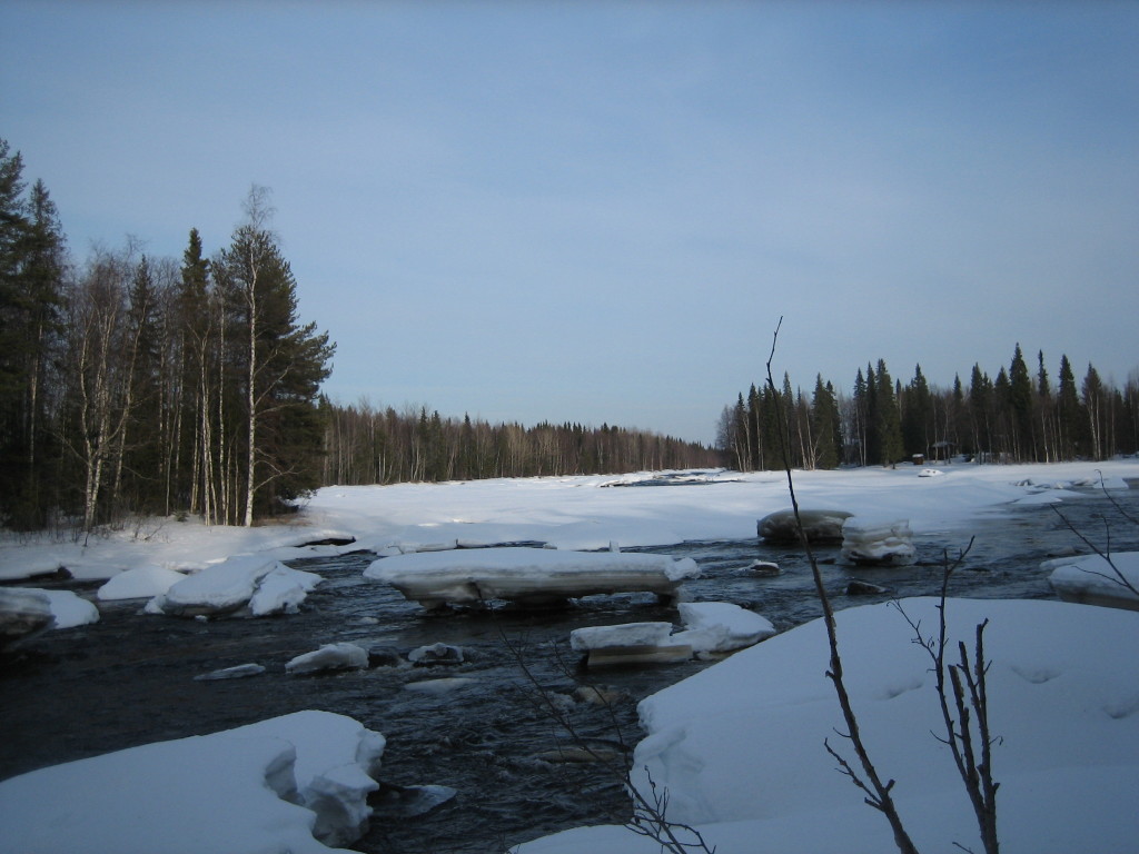
Me and my friend and her dog Topi spent a day hiking in Korouoma on October 22, 2018. We started our trip from the cabin nearby where we had spent the night. The weather was a fantastic October morning with no wind and around +1 degree. At arrival to the parking lot at the place called Saukkovaara, I saw a young couple getting into their car and leaving. They had already been hiking in this frosty morning and I noticed they were all sweaty, which made me wonder a little. After our hike I did not wonder anymore…..

The Korouoma canyon is all together 30 km long and on my first hike here we made about 6 km (which is about 3 km in one direction and then back). At that time we started from the place Koivuköngäs.
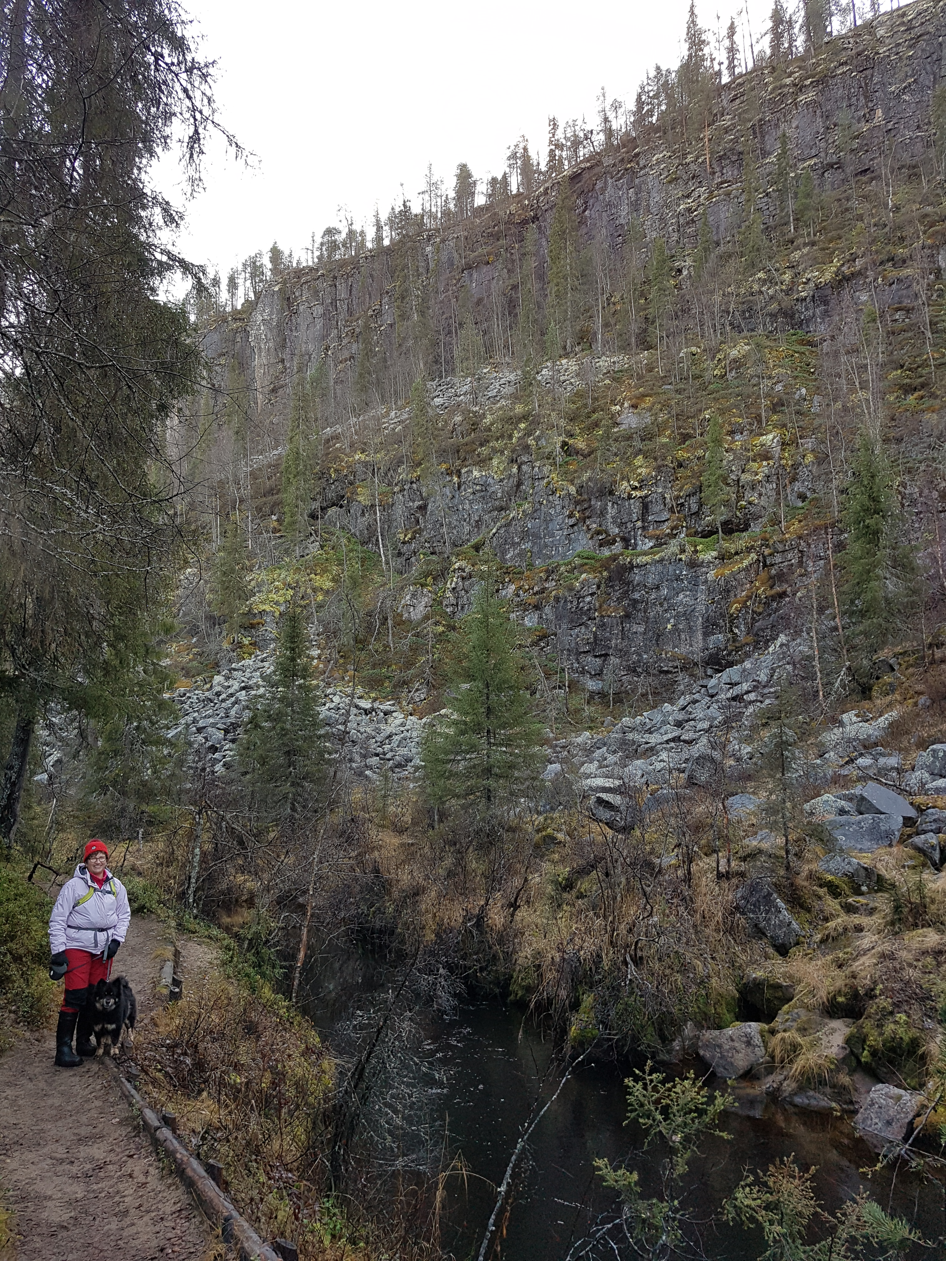
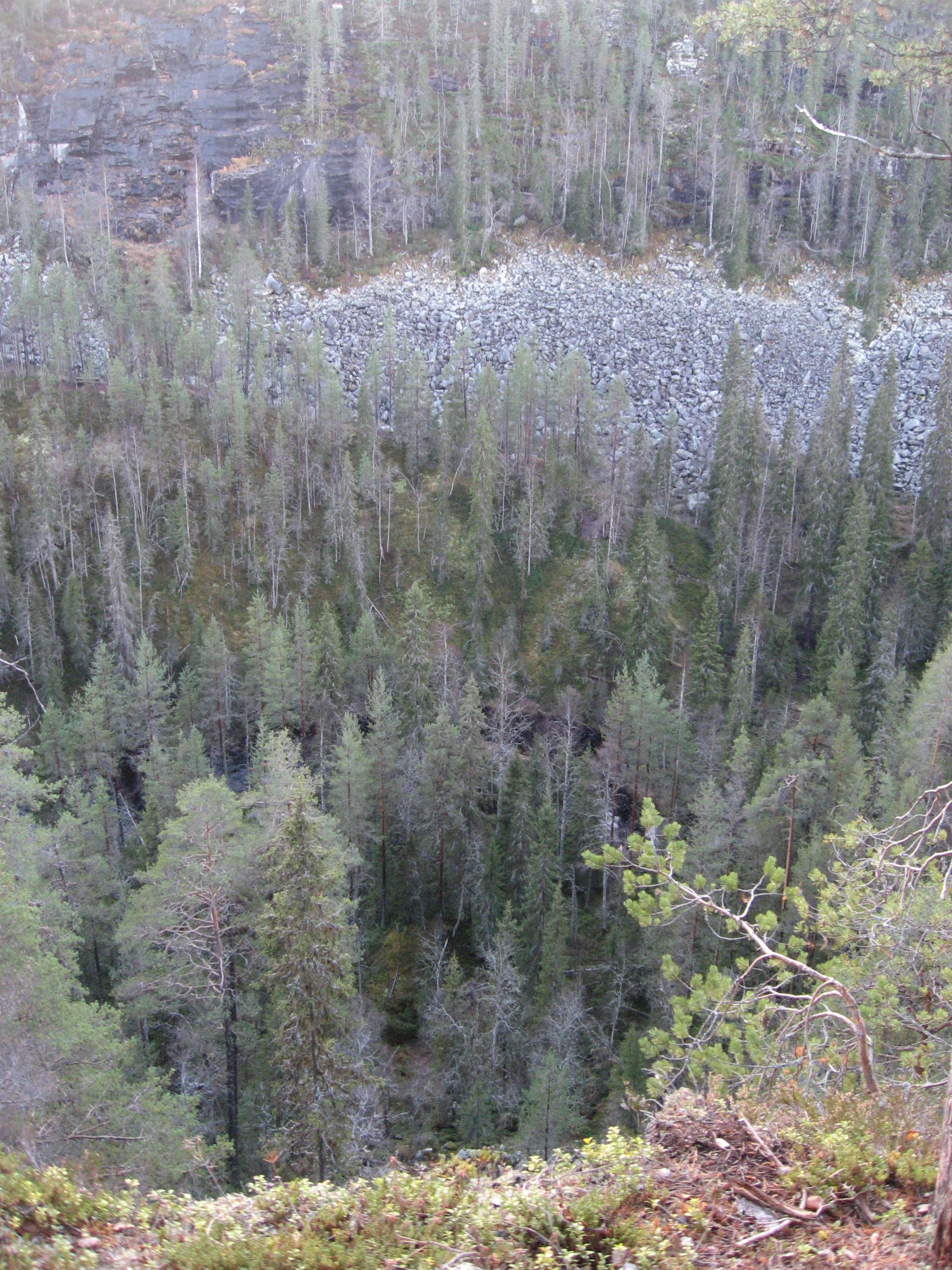
Korouoma is known as the biggest canyon in Finland and is hundreds of millions of years old. In the centre of Korouoma the fracture valley forms a canyon that has worn its way into the surrounding terrain. At its deepest the gorge is approximately 100-130 metres deep. Its cliff walls are tens of metres high and extremely steep and at points vertical. The bottom of this canyon is 200 to 500 metres wide. Parts of the canyon have become boggy and the narrow twisting River Korojoki meanders through it.

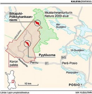
This time we chose Saukkovaara as the starting place. Saukkovaara is situated in the village of Pernu in the munincipality of Posio in the south-east of Lapland, 115 km from Rovaniemi. Directions from road 81 (Rovaniemi-Posio): At the village of Pernu turn right onto a local road at the sign for Selänsalmi. Drive for about 2 km and turn right at the sign to Korouoma. From this intersection it is about 3 km along a forest road to Saukkovaara, where you can find a parking area and information boards.
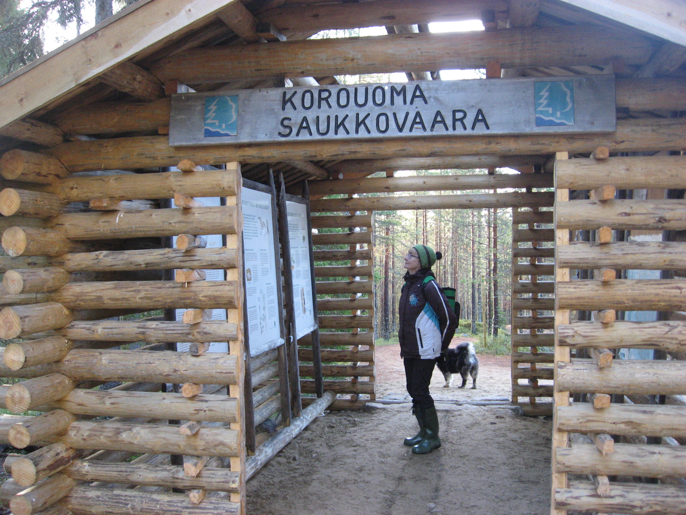
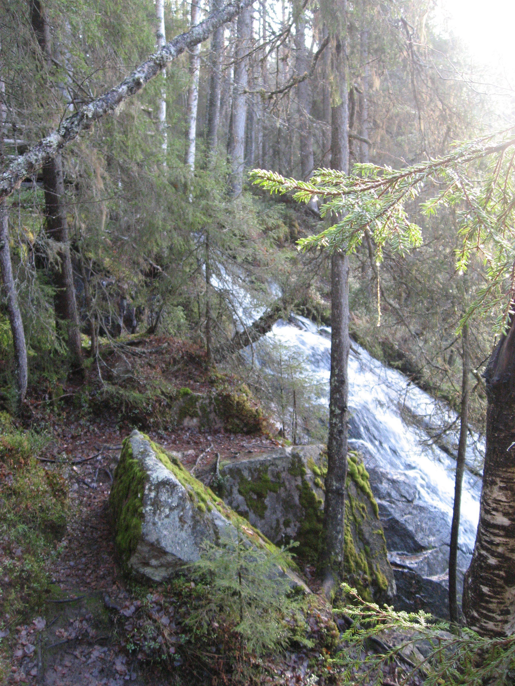
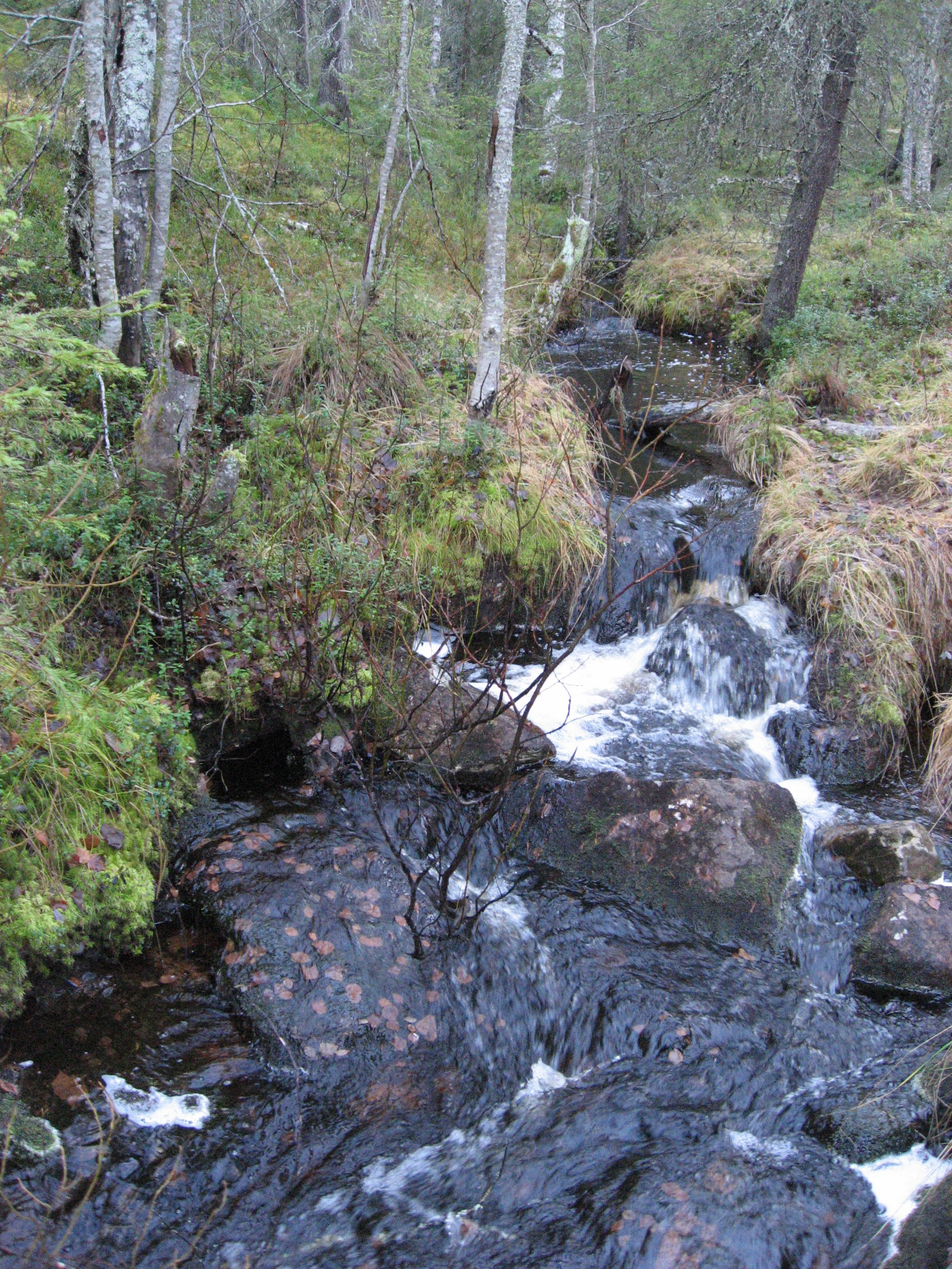
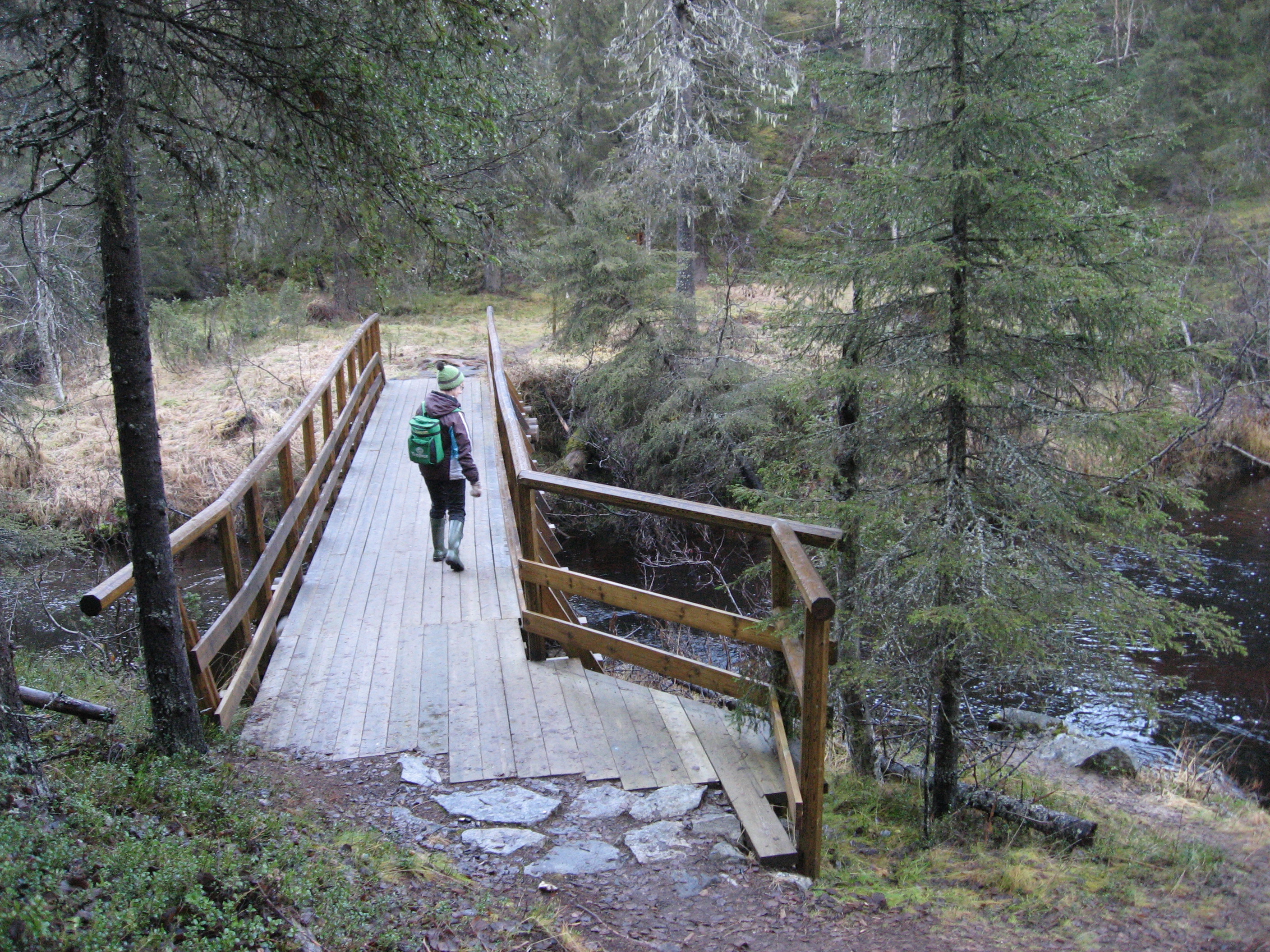
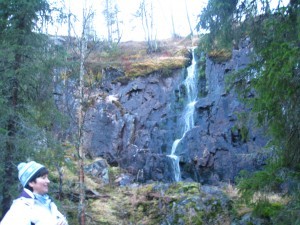
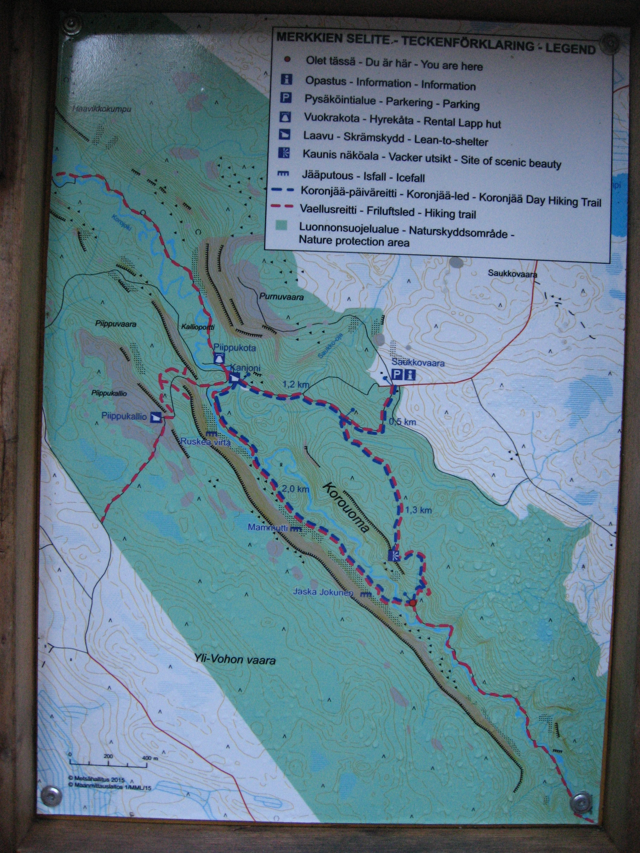
We chose the 6,5 km hiking route marked as a round trip on the map. It is marked demanding and suitable for people with good health. The path started nicely going down into the canyon and we stopped to enjoy a waterfall on the way down to the bottom. On the bottom of the canyon there is the small river Korojoki going the whole way through Korouoma. Hikers can use bridges to get from one side of the river to the other side. The hiking route is very well marked and on the maps along the route you see the places worth visiting and places where you can stop for a break and places for good photos.

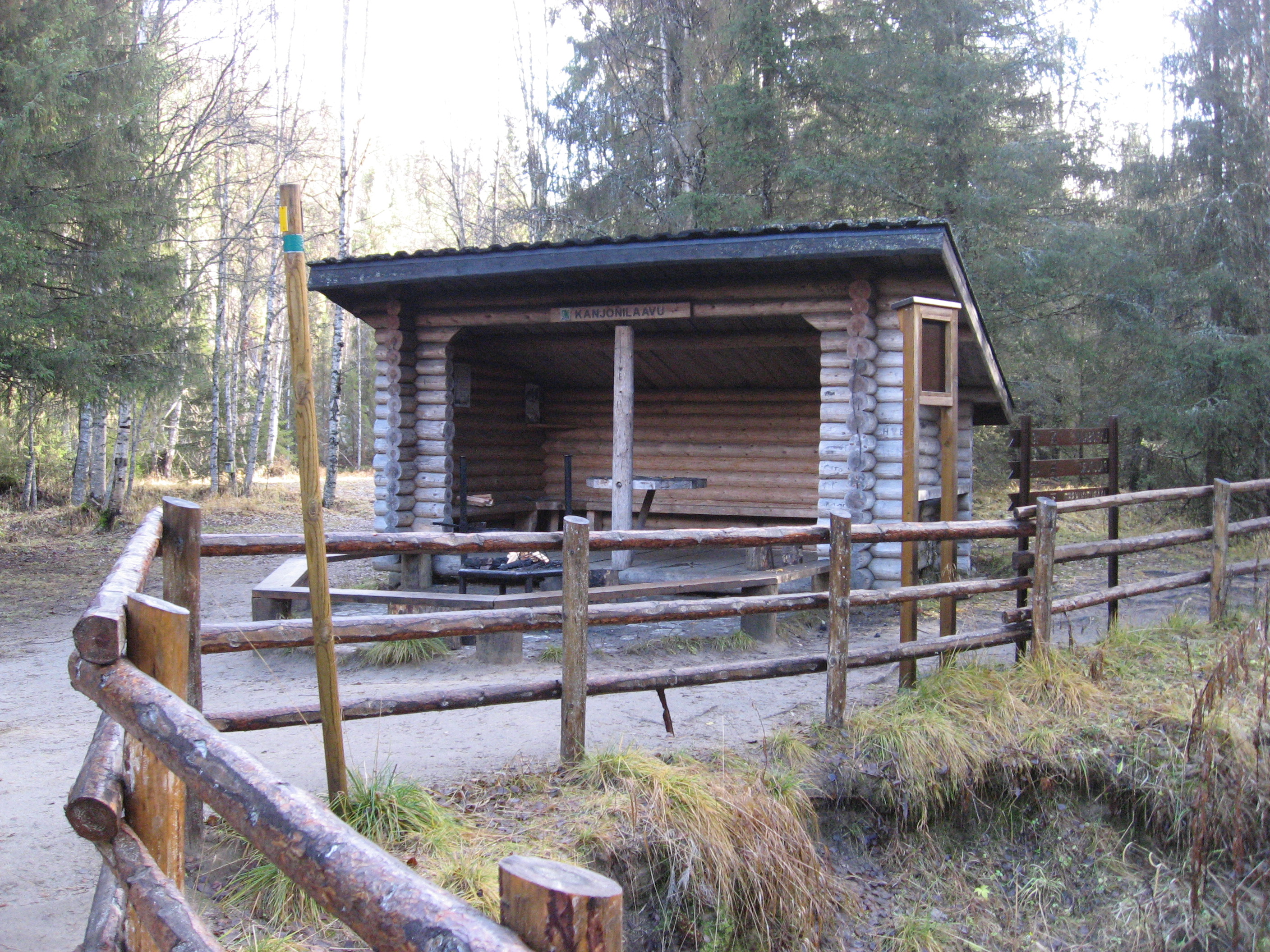
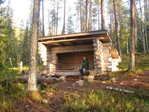
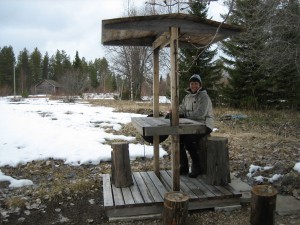
The first place for a break and possibility to make a fire came a little suddenly for us; after 1,7 km. We had already had a nice breakfast in the cottage and we were not prepared for a stop, yet.

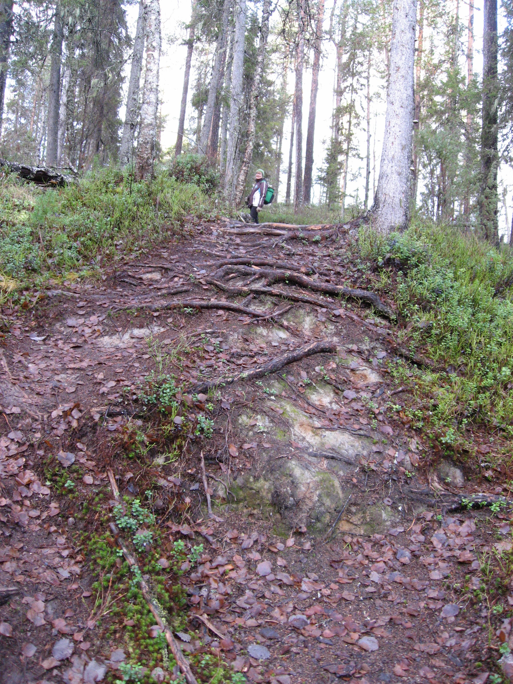
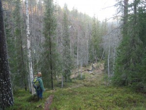
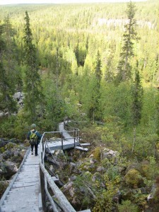
Our next goal would be the Piippikallio, where we could find the next shelter. And on we went….Piippukallio is a place situated on the edge of the canyon. This fact I did not realize until later….We started climbing up, up and up. The path was full of stones and roots. We saw parts of old stairs been taken away from the path. For now we had to manage climbing with the help of the stones.

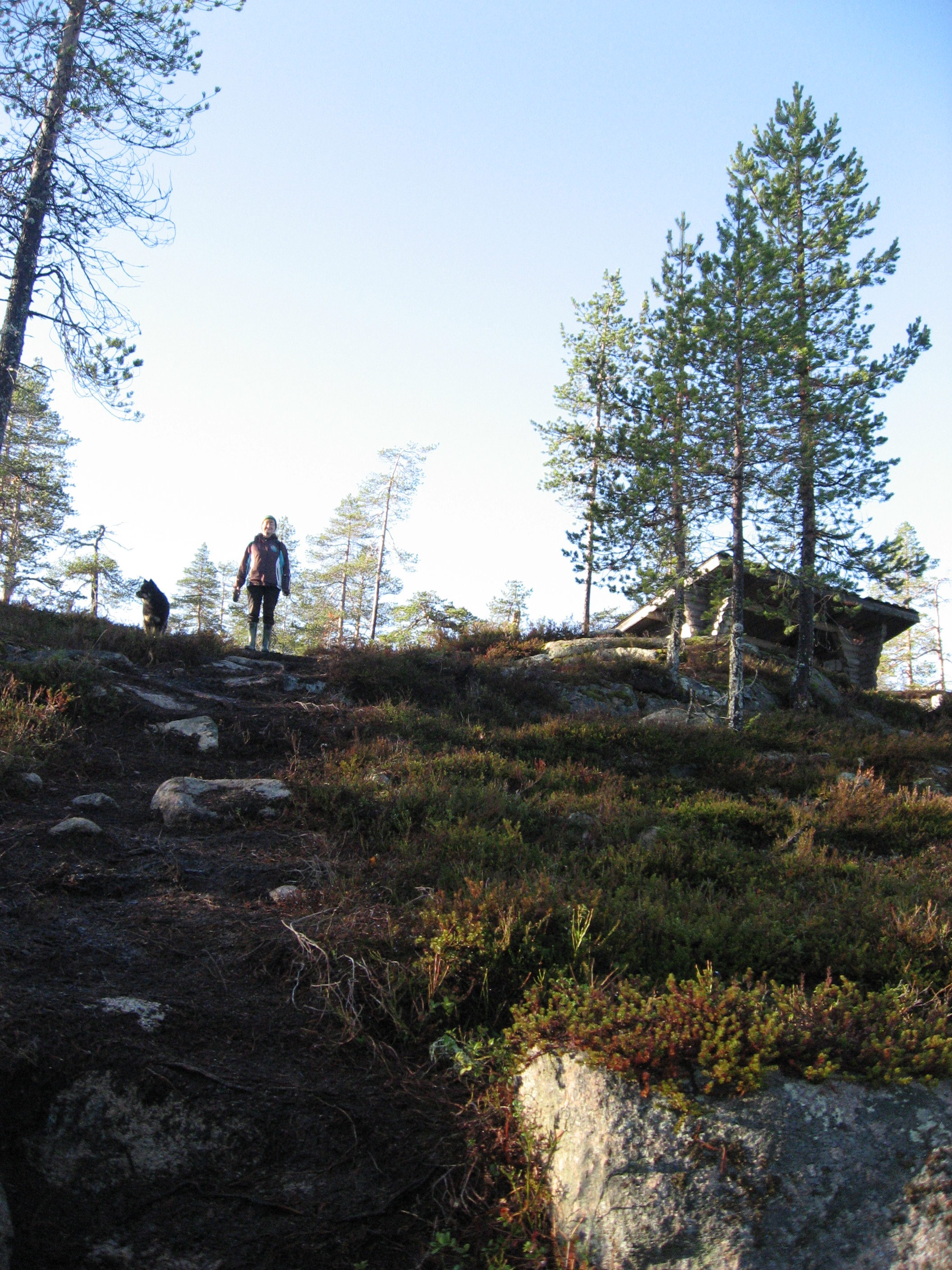
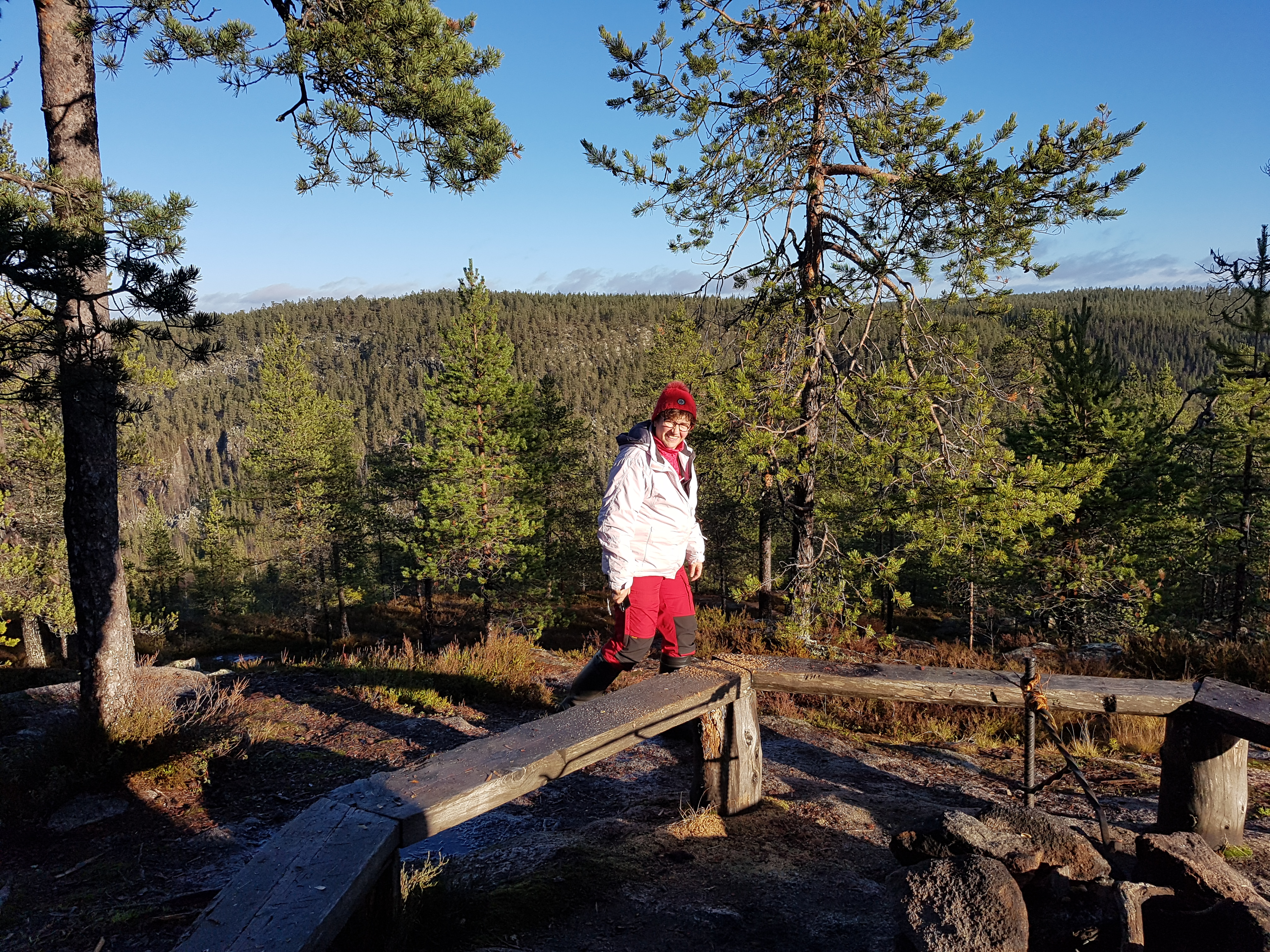
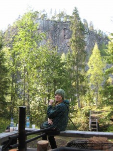
After a very hard climbing up the wall we got rewarded! A fantastic view of the canyon and a very nice and cosy fire place.

Climbing down was really much easier, even though we had to be careful where we put our feet. The dog did not have any problems climbing up or down. And he could drink the water from different wells and from the river. I probably did not drink enough during the hard hike and I had to cope with a minor liquid loss as I returned home.

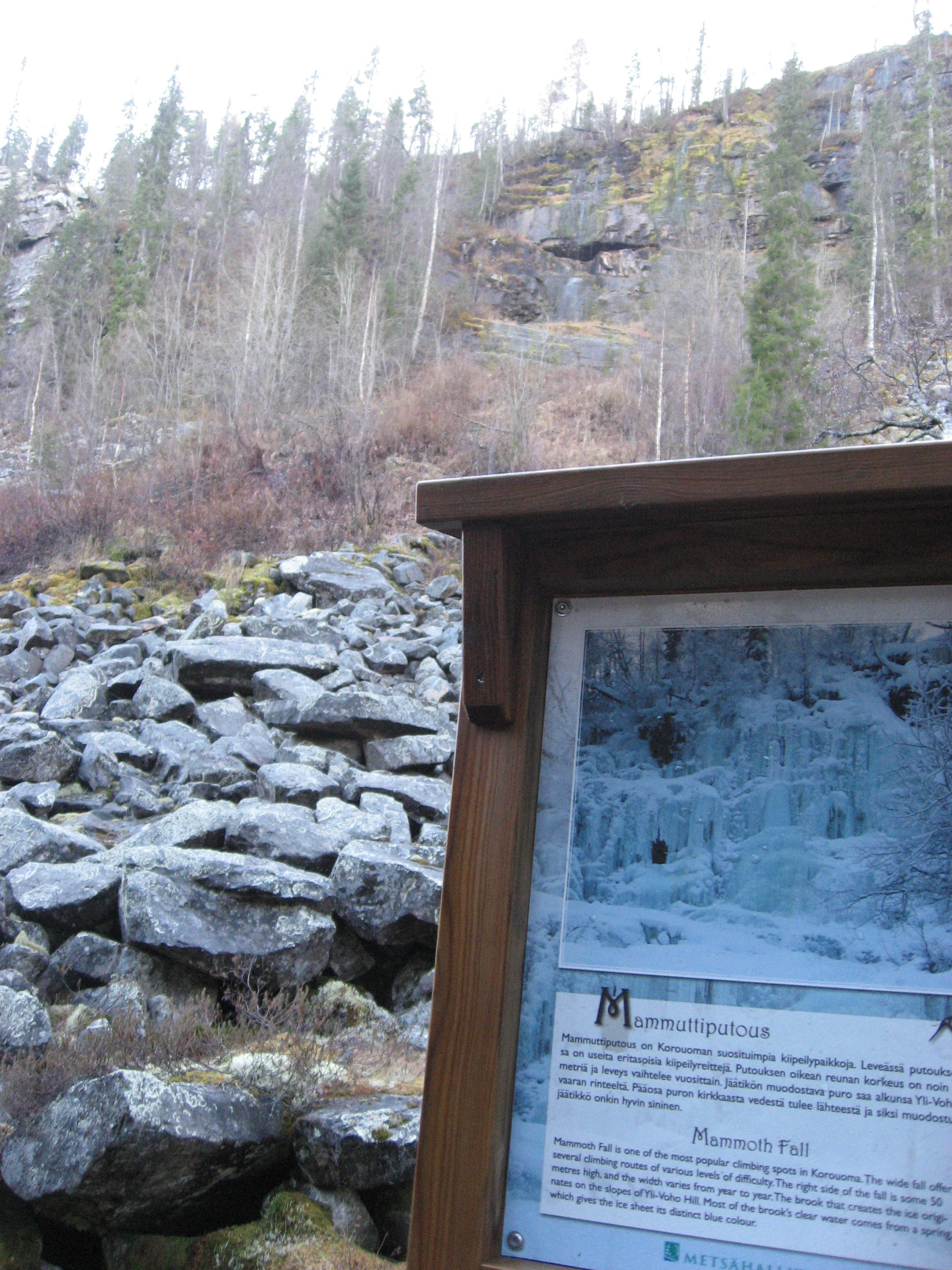
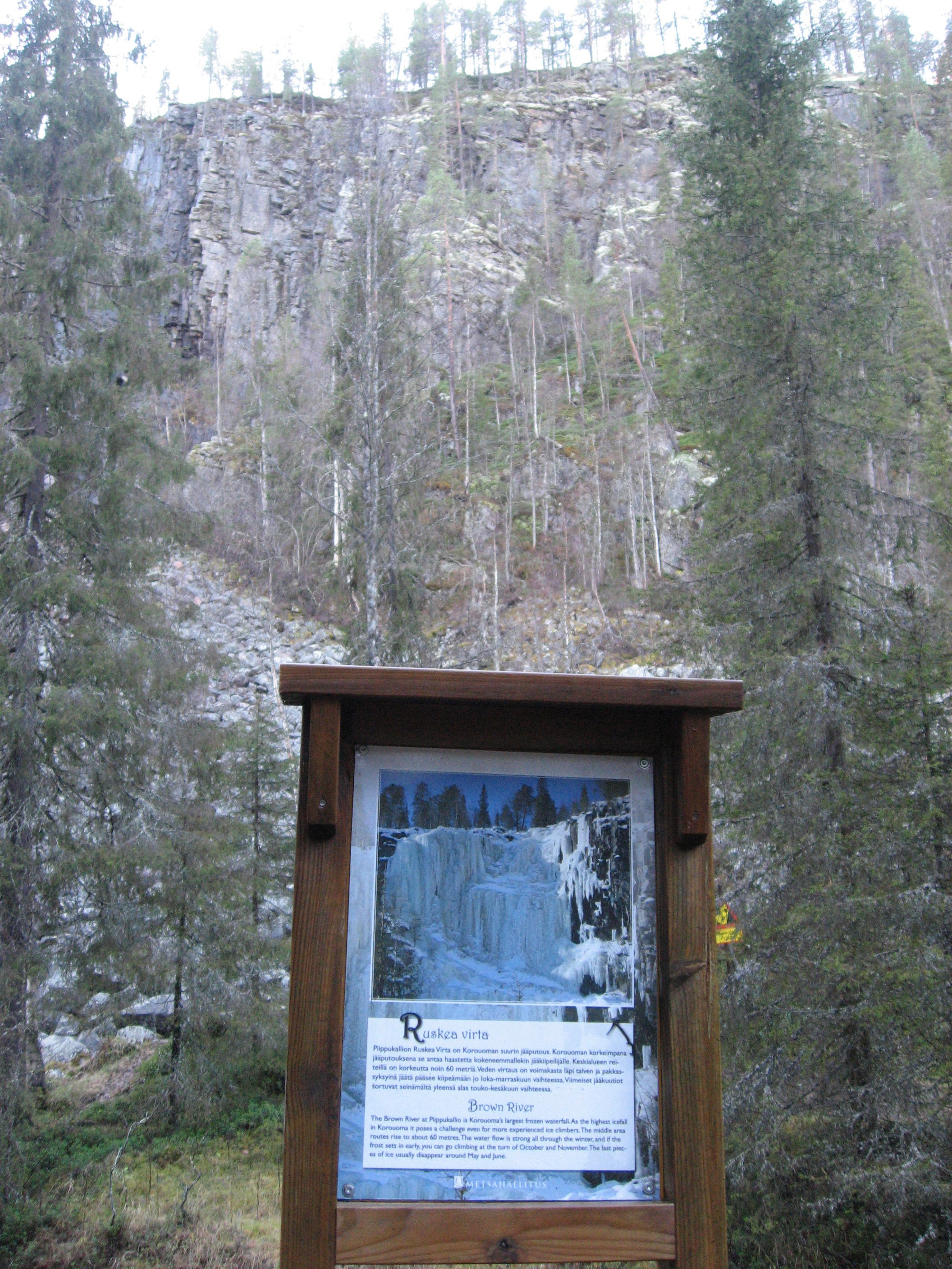
After a refreshing break at the fireplace we continued. The path lead us to the places for the spectacular winter ice climbing places: Ruskea virta, Mammuttiputous and Jaska Jokunen. I can only imagine what they look like in the winter with the thick ice covering the walls.

The last part of the hike, the 1,8 km leading us back to the car was all about ups and downs all the way. Steep up and steep down all the time. Really testing our legs and knees. And we found them still going strong and the only problem I had was I was all sweaty and started to freeze as we arrived to the car. I was really freezing and shaking as I got home with my wet clothes on. But after changing clothes and drinking a lot of liquid I am all ok again and ready for the next hike.

Nature paths and the necessary equipment in winter hiking

The weather conditions in Rovaniemi has been just perfect for outdoor activities for over a week now. I have spent many days outdoor walking among other things.

(This post was published last March, but due to problems with my host I have to publish it once again. The time of the year is also now suitable to publish posts with snow theme.)
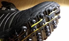
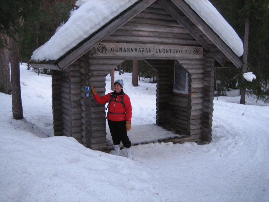
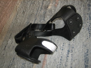
So far this winter I have not visited any of the nature paths near Rovaniemi center and I decided to do something about it. A friend of mine asked me one afternoon to join her to the nature path on Ounasvaara hill near the center of Rovaniemi. We had learned there would be a hiking path also for winter hiking. My friend was very preventive and wore a pair of shoes with steel-studded bottoms to prevent her from falling if the trail is slippery. This winter steel-studded shoes have been a top-selling product this winter sold in the shoe stores and outdoor equipment stores here in the north of Finland. It has even been so popular, that you hardly any more this winter manage to find a suitable pair to buy if you want to. They have sold out almost every pair of steel-studded shoes in the stores.

nastakengät nastakengät2
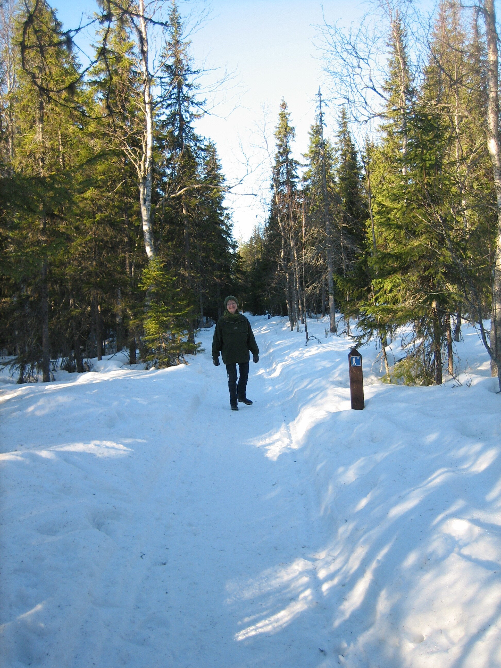
The steel-studded bottoms made it safe for my friend when we went walking on the winter hiking trail. I myself wore only normal winter shoes and somewhere in between the trail was really a bit slippery and I had to be careful where to put my feet. We met a couple on the trail and the woman was using Nordic walking sticks and that would of course also be an option on slippery trails.

IMG_7099

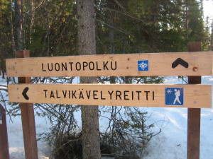
The trail started impressively by a gateway in the forest and was marked with pictures of a hiker and a snowflake along the route that was easy to follow. In summer time there is a nature path, too, but the winter hiking trail differs a little from the summer version.

IMG_7069
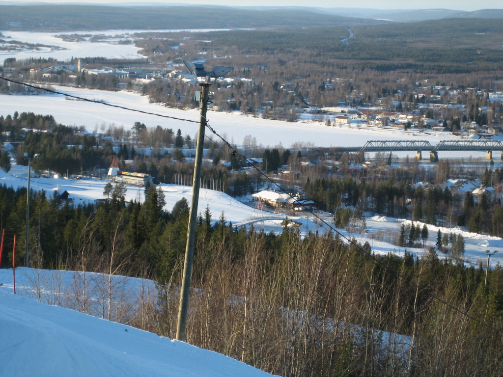
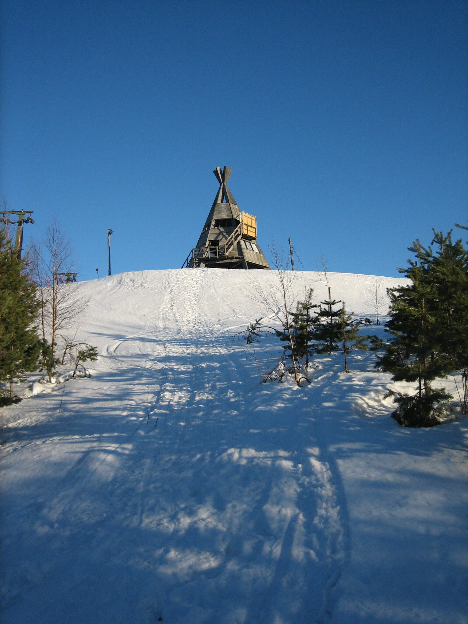
Anyway, the trail has been prepared by a snowmobile during the winter and was very easy to walk on; only partly slippery. We took the long route of 6 km with a short visit up on the top of the downhill slope of Ounasvaara. The view from up there was marvellous. We were just thankful we did not have to go downhill by skies from there.
IMG_7082

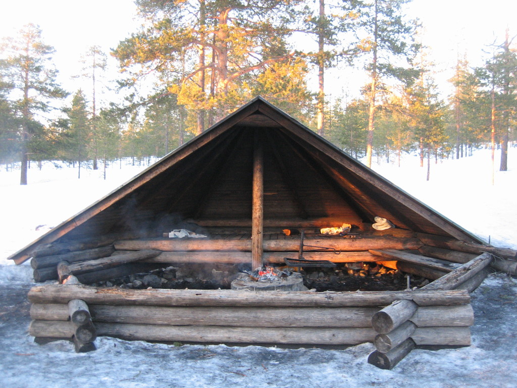
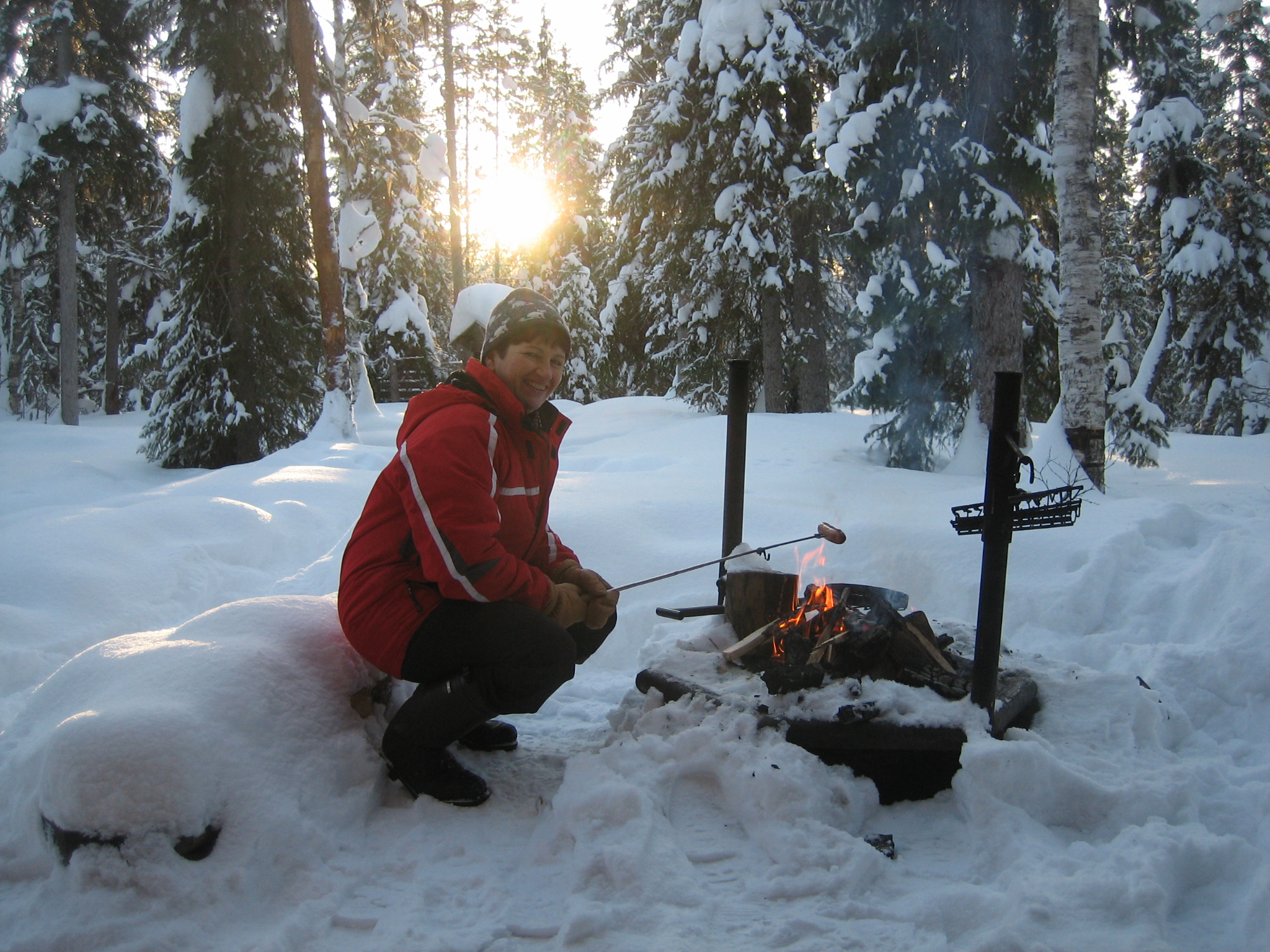
Our hike ended with some fried sausages at one of the fire places along the trail. The evening sun shined at us, but the fire-place was not so tidy and nice. All black with soot from the frequent use of the fire-place by the citizens and students living near by.
IMG_7097

Inspired by this hike I planned the next hike the same week. This time to the Vaattunkiköngäs nature path at the Arctic Circle Hiking Area about 20 km from the Rovaniemi center. This time I went alone and this time I came to regret I forgot my equipment for the shoes to prevent me from falling….Not that I did any falls; only many times close.

IMG_7152

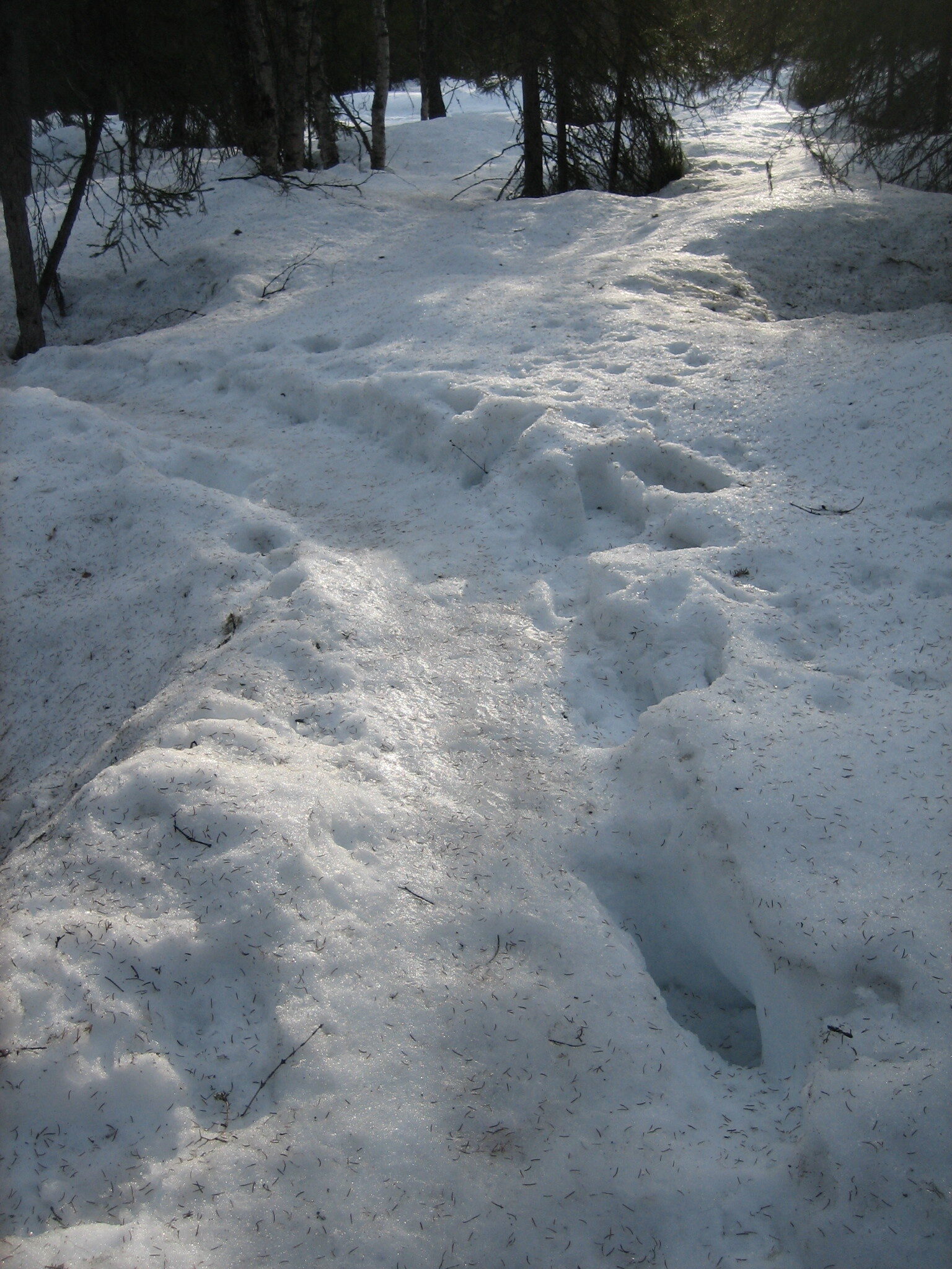
The nature path of Vaattunkiköngäs does not have any winter maintenance. The area is often used by local people as well as by tourists because of its beauty and how easily reachable it is. This lack of maintenance has resulted in a path that was almost all the way very slippery and partly almost impossible to walk on. I sent some warm thoughts to my friend with the steel-studded bottom shoes all along the path. I struggled my way, and I managed not to make any falls along the icy trail.
IMG_7123

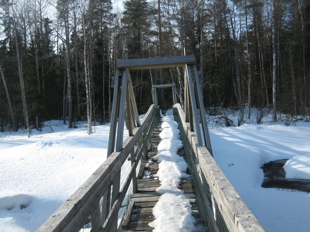
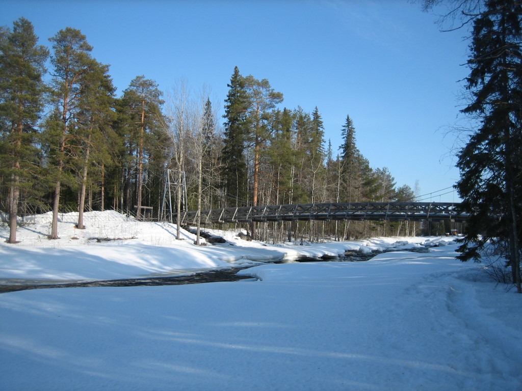
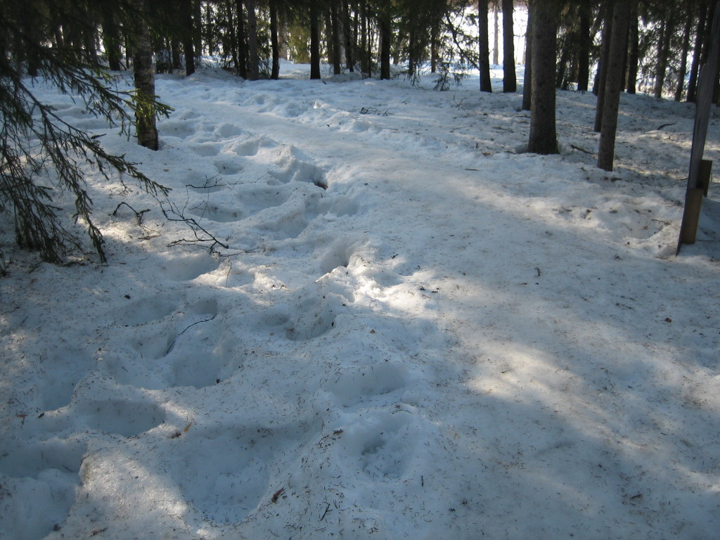
The walk over five bridges over the rapids is very beautiful and I had to stop and enjoy the nature every now and then. Part of the trail is equipped with duckboards and easily approached even by wheelchairs in summer. The snow depth in the forest is about 70 cm now and I could see that the snow really amuses some of the visitors, as there were tracks in the deep snow besides the trail all the way.

IMG_7116 IMG_7117

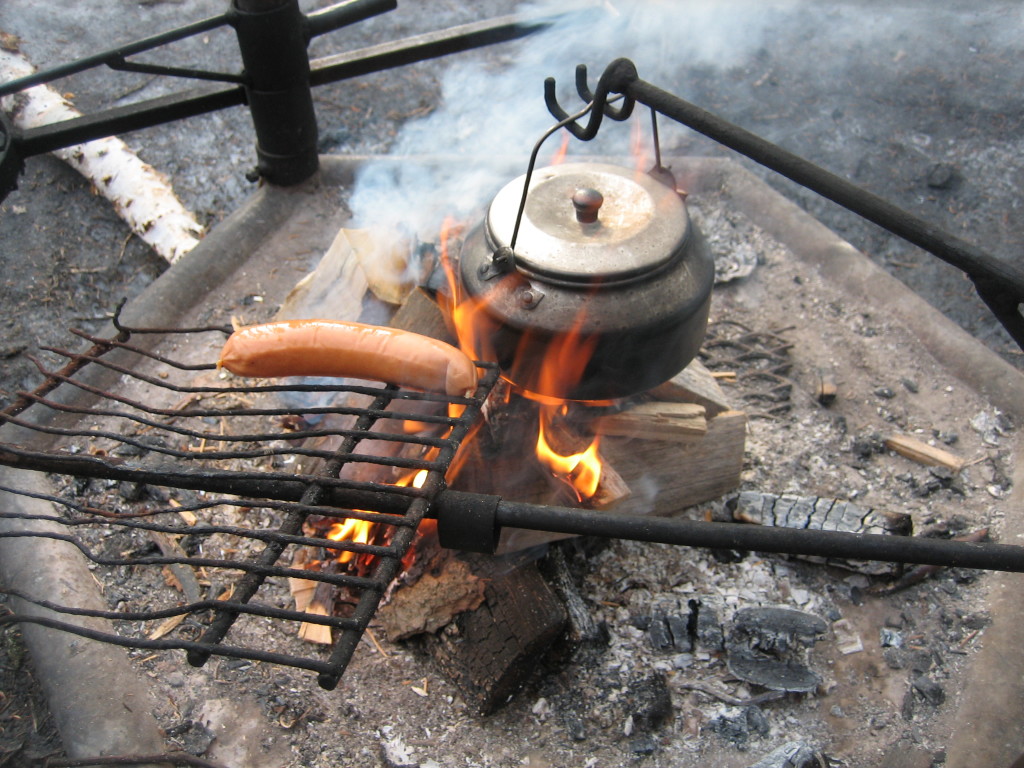
This time it was not the walking that gave me satisfaction, but the goal for my walk. I ended up at the fire place of Karhukumpu. I made a fire and fried a sausage and ate it together with a cup of tea and a bun.

IMG_7128
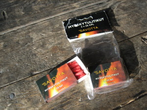
(These matches for storm use are really useful when you have to light a fire to not very dry wood.)
IMG_7126
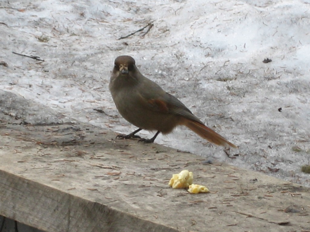
As I sat there and enjoyed the meal and the sun shining on me, I heard kind of “small talk” from the nearest spruce. It took me a while but then I saw my visitor: A Siberian Jay (Perisoreus infaustus)! And at the same time a second one occurred, too. The Siberian Jay is known to wilderness traveller as a very inquisitive and fearless species, which can be seen near camps and fires and even take food if such is left nearby. I put out some of my leftovers on the bench and it did not take long time for the Siberian Jays to come and fetch it just a couple of meters from me.

IMG_7135

If you have heard the legend about the Siberian Jay you now realize how happy this made me. The say is that the Siberian Jay brings luck to the people it meets. It is called a good-luck bird. If a hunter kills a Siberian Jay, his hunting success disappears for ever. One legend also tells that the souls of hunters transmit to Siberian Jays after death. Ancient people called it the “soul bird”.
The Siberian Jay is 27–30 cm, between the wings even 40 cm and it weighs 74–98 g. It is the smallest bird of the crow family, living in Finland. It does not migrate during winter. It has a very nice “small-talk” sound but also a tub-thumping sound when needed.

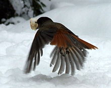
Kuukkeli
(This picture is not my own. I took it from Wikipedia to show the colors of the back of Siberian Jay.)
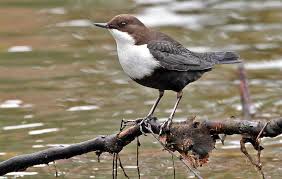
On my way back to my car I stopped at the rapid and took some photos. There was also a German man taking a lot of pictures. They are astonishing, the rapids. My interest was whether I could get a glimpse of the White-throated dipper (Cinclus cinclus) there. But I did not see any. It is probably a little early for that. I’ll try again in April. The local Bird Association uses to make excursions to this place every spring to spot the White-throated dipper as it makes diving into the rapid.

strömstare

Photo from www.fageln.se.

IMG_7149

Nature paths in winter time

Before I arrived in Lapland I thought of nature paths as something you do in summer time or at least during snow-free times. But that thinking I had to change as I have found the nature paths near Rovaniemi also accessible in winter time, preferably maybe in early spring, when there still is a lot of snow, but the sun is shining from a clear-blue sky. The period of daylight is too short in midwinter to do any longer hiking tours in the nature.

People in Rovaniemi use to walk nature paths during winter, so the duckboard way is easy to find, but on the other hand, if the ground is frozen, you do not even have to walk along the duckboards, because the risk of stepping into water is non-existent. If you go walking outside the paths you could preferably use snowshoes, which is very popular, too.

snowshoes

My favorite area of nature paths near Rovaniemi is the Arctic Circle hiking area, the Vaattunkiköngäs-Vikajärvi area. These paths I use to hike in summer as well as in winter time. To sit by the log fire enjoying your picnic and fry your sausages together with friends or alone surrounded by white nature and possibly in early spring you could hear some birds voices. The winter time in the forest of Lapland is otherwise a silent period. But in early spring the first migratory birds return again after they have spent the coldest period of winter in some warmer climates. I like this early spring period because it is easy to separate a bird’s song from others. Later in spring the forest is so full of voices, so you hardly could separate one bird from another. Just take your time and let the sun warm up your frozen face and open your ears to all the fantastic voices of spring! I also use to admire the different formations from the snow you can find if they are untouched. There is always the possibility to stop by a lake and do some ice-fishing during your hike if you have the equipment with  you in your backpacker. At the Arctic Circle area I on the other hand would not recommend any ice-fishing, because there is no lake, but a river with rapids and that is never safe to enter in spring time.  .

IMG_0446IMG_0459


strömstareInstead you could try to get a glimpse of the cute little bird, the White-throated Dipper, that lives by the rapids in Lapland and even goes diving into the open rapid water in winter time. In spring time you can possibly also listen to its drilling song if you manage to separate it from the voice of the rapid, of course.

IMG_7185

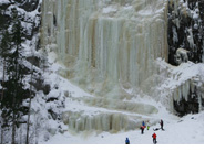
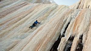
At the Korouoma canyon area people use to walk the paths often also during winter because of the possibilities to do ice-climbing on the frozen waterfalls. The frozen waterfalls in Korouoma are the biggest in Finland. Ice climbing possibilities in Posio are provided by Stella Polaris Lapland and Bliss Adventure. Trained professional guides make sure that your ice climbing experience is safe, fun and unforgettable! Please note that you are not supposed to try to go climbing the frozen waterfalls on your own, if you don’t have the special equipment and experience required for individual climbing. But, anyway, you can always admire the huge frozen waterfalls, and I must say, that is enough for me.

jaakiipeilyiceclimbing


The Saariselkä area in the north-east of Lapland is also a popular resort for hikers that offers excellent possibilities for day-trips throughout the year. During summer visitors can hike along hiking trails and nature trail of varying demand or even cycle. In winter the area boasts 250 km of maintained ski trails and such as nature trails are excellent places for trekking in snow shoes. A vast variety of services can be found at the Saariselkä tourist resort during all seasons.


An autumn day with experiences for body and soul in Pyytöuoma Nature Park

After a warm and exceptional long summer time this year in Finnish Lapland the autumn now announces its arrival with lower outdoor temperatures and the leaves falling off the trees.

Still you can enjoy fantastic and fabulous hiking day trips all over Lapland on the large amount of suitable hiking paths in the forests or on the fells. One of the most beautiful hiking paths for a day trip  in the forest is the path of Pyytöuoma in Posio in the east of Lapland near the Russian border. This is not far away from Korouoma canyon, where I have hiked before.

pyytöuoma

IMG_9264Some people like to hike in the open areas on top of fells, but I like it very much to walk through forests and learn about the wild life and the nature of the Lappish forest. The environment is also changing all the time; sometimes you cross a little river and sometimes you have to climb up along a wall of the cliffs a bit and many times the path goes over swamps on duckboards, And almost certainly you find a fire-place where you can stop for a while and just sit down and enjoy your picnic and the surrounding views.

IMG_2628To find this Pyytöuoma, you drive by car along road nr 81 from Rovaniemi towards Posio. About 37 kms before Posio you turn left on to a sandy road leading you about 8 kms to a parking area where you can leave your car. From here the 3,7 km long nature path starts. The path circles in a beautiful scenery along the Pyytöuoma riverbed and cliffs. There are some steep places where you go down to the bottom of the canyon and also places where you approach up from the canyon again, but the path is very well suitable even for family day trips.
Pyytötuoma area is protected and almost in its natural state. There are rare species of flora and fauna living in the ancient forests of Pyytöuoma. If you are interested, along the path there are 12 info signs about the nature and forest management of the area.

IMG_0111After a while, almost halfway, you are walking on the bottom of the canyon and you cross a little river. In case you have your fishing equipment with you, you can always try to catch the rare river trout (brown trout), which lives in these kinds of small rivers in the Lappish forests. But from here the path starts rising again up on the other side of the riverbed. This is the most trying part of the path but once you end up on top of the cliff  you will get your reward. The view is just astonishing and there is also a beautiful fire-place waiting for you. The picnic you brought with you should be enjoyed here by the fire. There is a sign also telling that there is a well here near by, but I did not manage to find it, but I probably did not try hard enough.

IMG_0106 IMG_0114

After a deserved pause the hike can continue. Now the path leads you through the forest and the information signs tell you about the work in the forest and how the Finnish Forest and Park Service has planned to keep the natural state of Pyytöuoma with as little incite in the nature as possible.

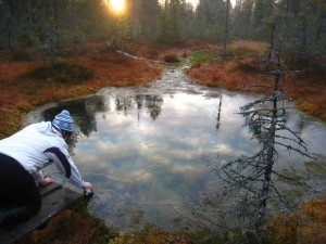
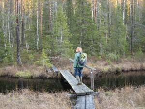
IMG_9271After a walk along a duck board you see a small “lake” or just a body of water in the middle of the swamp. The water is clear and it tempts you to taste it. I found out by tasting that it is clear and ice-cold and also good tasting.

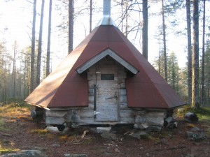
Finally in the end of the path we end up at a “laavu” or a covered fire-place. This was a day trip for us, but if you choose to make a several days stay in the forest, this laavu could be the place to stay over night at this time of the year. You could keep yourself warm at the fire-place and in case of rain you would stay dry.

IMG_0099

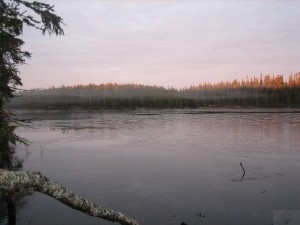
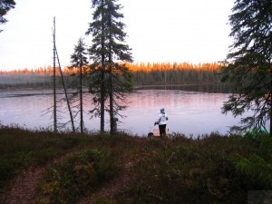
This was a very interesting and enjoyable day trip for me both because of the exercise my body got by climbing and walking and the soul could just rest in the beauty of the nature of this canyon and the surrounding nature. In the evening the temperature lowered to nearly 0 degrees and you could see a thin ice coat on the surface of a lake near by.

IMG_0121

IMG_9281


Hiking in Lapland and shelters for staying overnight

On hiking trips in the Lapland nature and especially along hiking routes you will find shelters or huts to use for resting, just for some hours or even to stay over night. There are huts which hikers can use for free, and others for which a fee is charged. You can look for maps and useful information about hiking here.

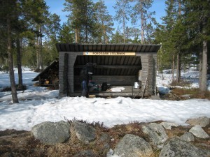
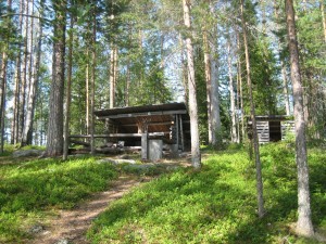
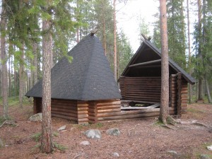
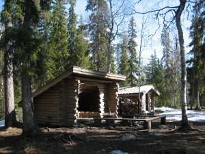
IMG_2373The most common and well-known type of free, open huts are the open wilderness huts. The wilderness huts are meant for one-night stays. They are usually located in the northern and eastern parts of Finland, usually in roadless backwoods. Other open huts include day trip huts, which are not meant for staying

IMG_6528

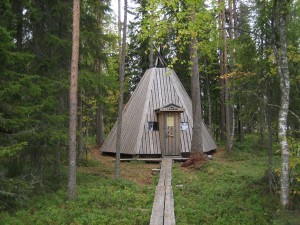
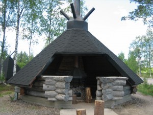
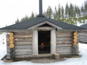
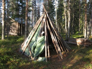
overnight. Also open turf huts, or campfire sites as you also can call them, and Lappish pole tents are suitable places to stop and rest during the day, but in exceptional circumstances they can give shelter for the night, too. The shelters and huts are managed by the Metsähallitus of Finland. Near the huts and shelters there is also firewood for free use by the hikers.

IMG_4576 IMG_0099 IMG_3800IMG_5989

Reservable huts are locked, and a fee is charged for staying. By using reservable huts, the hiker can be sure to have somewhere to stay overnight. But then the hike must be planned in advance, and that is not always what the hikers want to do. There are of course also more equipped cottages to rent for more than one night’s stay managed by the company Wild North. 

Many extensive areas of forest and open fell are owned by the State and managed by Metsähallitus, especially in Finnish Lapland. In the south, more forests are owned by local people. Finland’s liberal laws of public access give everyone the right to roam the forests and countryside freely, no matter who owns the land.

I have spent many days in the Lappish forests and lakes and I have loved to explore different kinds of shelters. I, myself, have not yet stayed over night in any of these shelters, but I have heard other people doing it and they have loved it. In summer time of course there are the mosquitoes, gnats and horseflies bothering. That is not the case during winter, but I can think of a lot of reasons not to want to stay over night in a shelter during winter. But I could be wrong, I admit that. To be able to sleep outdoors in summer you have to use some kind of insect repellent or venom on your skin.

I have been surprised to find these shelters in so many different shapes. Some of them more architectonic with more constructions than others.

IMG_2199 IMG_9849 IMG_7189 IMG_1590


On my trips in Lapland I have also found shelters for cooking or just eating, made of inhabitants of Lapland without any connections to the Metsähallitus and their huts and shelters.

IMG_8371 IMG_7142


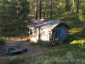
I must say the most fascinating hut I found was the one made of reindeer keepers long time ago for overnight stays. I felt the wind of ancient times blowing as I opened the door to the hut.

IMG_0091


Hiking in Korouoma canyon in Lapland

Korouoma is about 30 kilometers (20 mi) long, few hundred metres wide and up to 130 m (430 ft) deep canyon at Posio about 200 km east from Rovaniemi. The entire area is natural reserve. At the bottom of the canyon there is the very narrow Korojoki River, which ends up to Kemijoki river, which is also running through Rovaniemi. Kemijoki river makes a great impact on the Lappish nature as it flows through different places on its way out to the sea near Kemi city. Korouoma offers great opportunities for hiking and enjoying the nature.

Korouoma is a fairly popular hiking area. There is a marked hiking path at the bottom of the Korouoma and several fireplaces, huts and cabins. Finnish Administration of Forests takes care of the routes and hiking related infrastructure there. Korouoma with its steep cliffs and the frozen pouring water is also the best place in Finland to do ice climbing, and also climbing in the summer is popular.

As I made a hiking trip together with a good friend we only made a part of the 30 kilometers but the nature was outstanding. In ancient times there has been a kind of earth quake that has formed the place to a canyon with steep cliffs on both sides. There is said to be some bears’ dens, too. I am glad we did not meet any bears.

We partly walked along the Korojoki river but we also took the over 100 steps of a stair leading up to the top of the cliff; a condition testing achievement. It was much easier to walk down again. We stopped at a fireplace, i.e. a hootchie or laavu, and had our break before we returned to the parking where our car was waiting. I dream of the day I can make the whole Korouoma hiking, 30 km. Here you find more hiking routes in Lapland and other places in Finland. .

IMG_2538

IMG_2509 IMG_2545

IMG_2511 IMG_2498