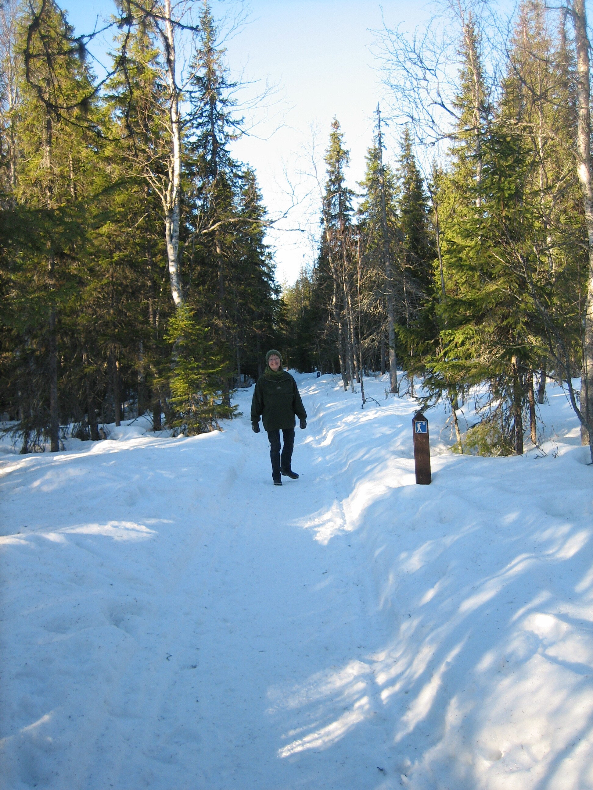
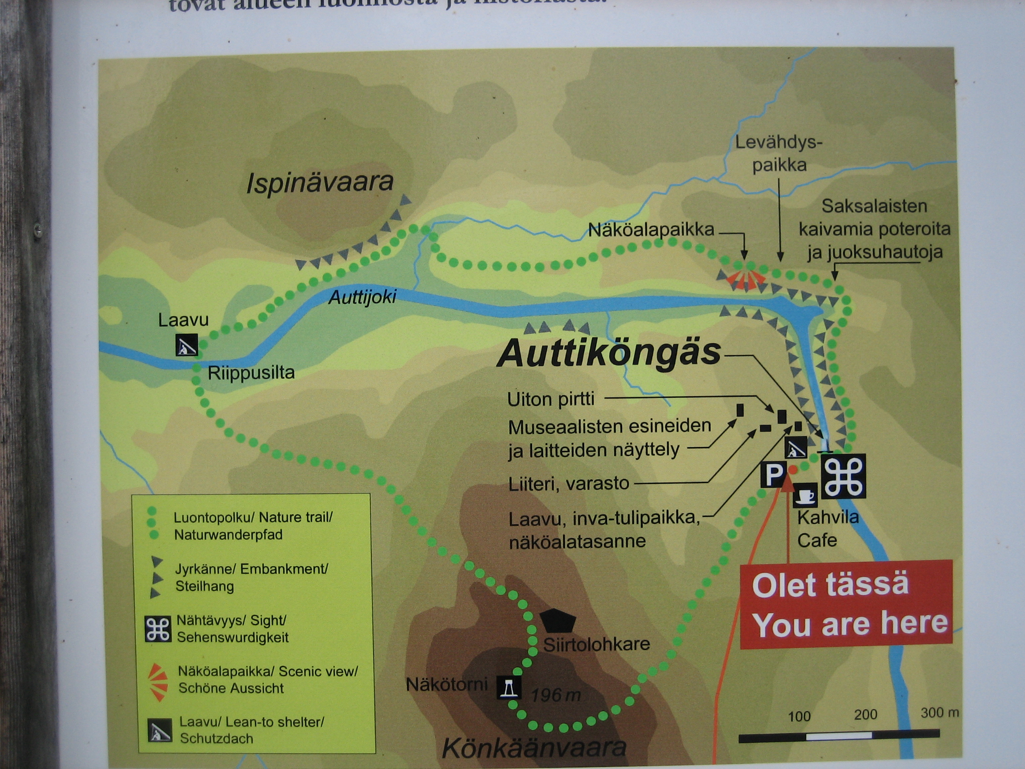
Last week I decided to try out Auttiköngäs nature trail. Auttiköngäs is situated 70 km from Rovaniemi along the road to the east. It is easy to reach by car and there is a large parking lot from where the 3,5 km long nature trail starts.
Auttiköngäs is part of the great canyon that goes through Lapland in a north-west to south-east direction near Posio in the east of Lapland. I visited the canyon Korouoma many years ago. You can read about that here.
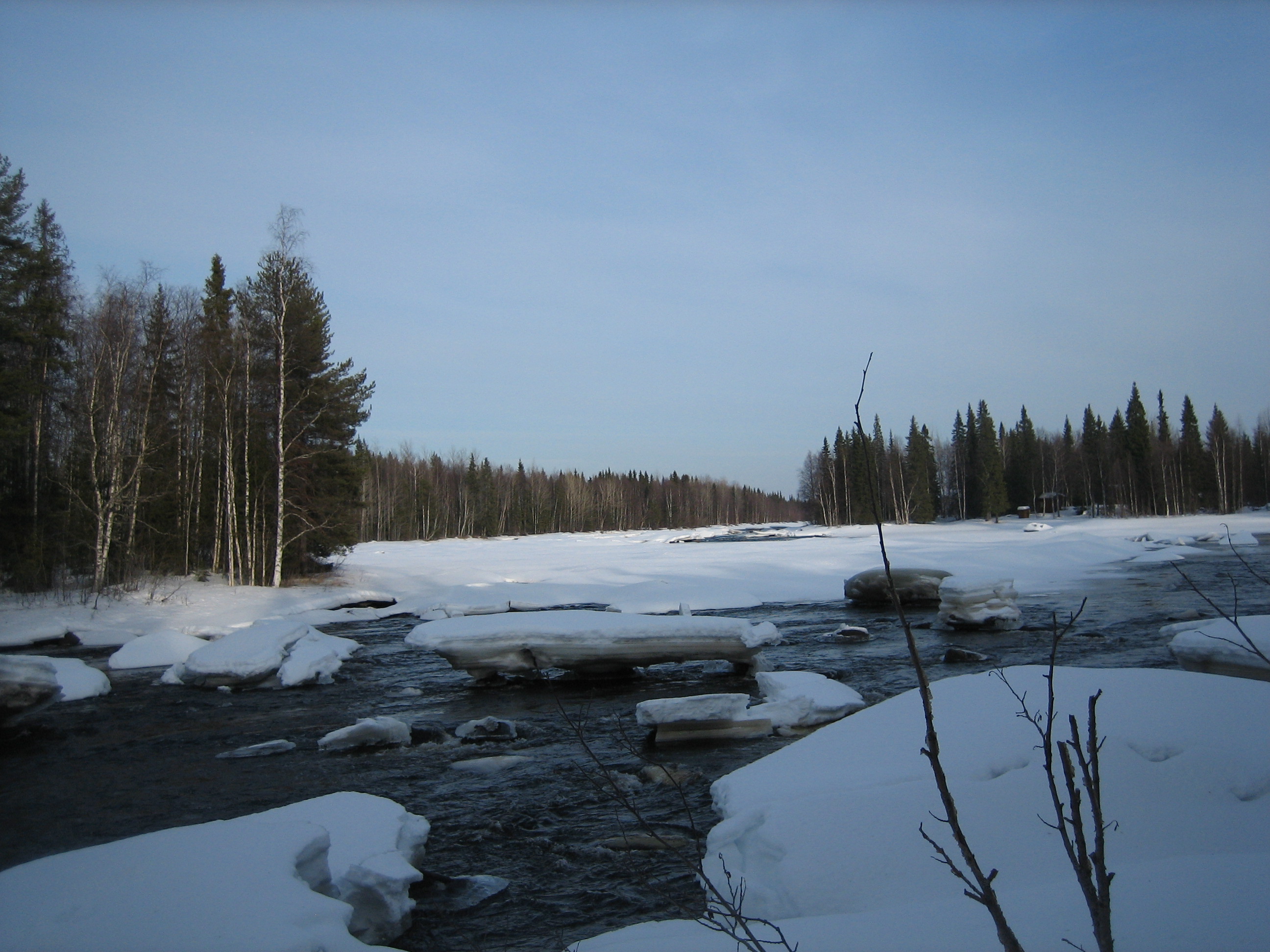
The weather this day was normal October weather in Lapland before it starts snowing. There was no wind and around +2 degrees Celsius. Just perfect for a hike in the nature. Actually the temperature was below 0 degree in the morning as I started the hike.
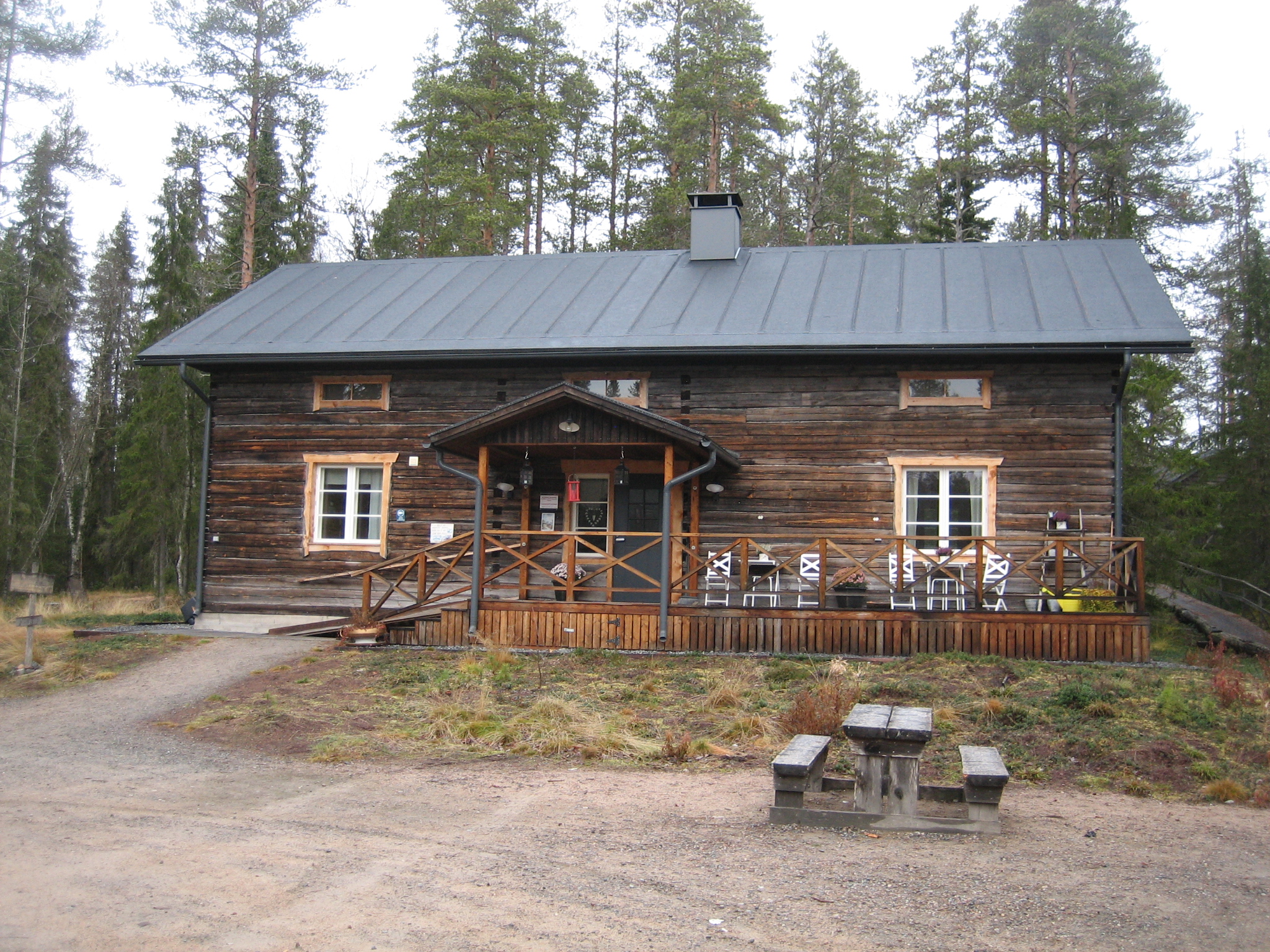 At the parking lot there is a restaurant in Auttiköngäs. The restaurant is open for visitors only during the summer season from the beginning of June to the end of August.
There are around 15,000 visitors at Auttiköngäs every year. The visitors are interested in the canyon and the log chute and dam built in the river in order to make it possible to float timber to the Kemijoki river and further to Rovaniemi and onward to the sawmills located near the Kemi city on the west coast of Finland. The first mention of the Auttiköngäs log chute dates to 1899. Log driving continued until the 1970s. Currently there is no log driving taking place at Auttiköngäs but the aim is to preserve the log driving structures at Auttiköngäs. Around the parking lot you can also learn about how the log driving used to take place and the museum near by shows a lot of items dated back to the log driving era. It is of great cultural value to preserve this to the coming generations.
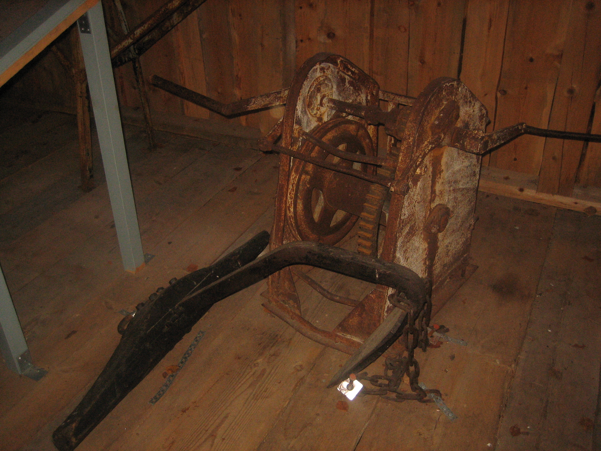
The items are presented in the museum and you learn about what the different items were used to.
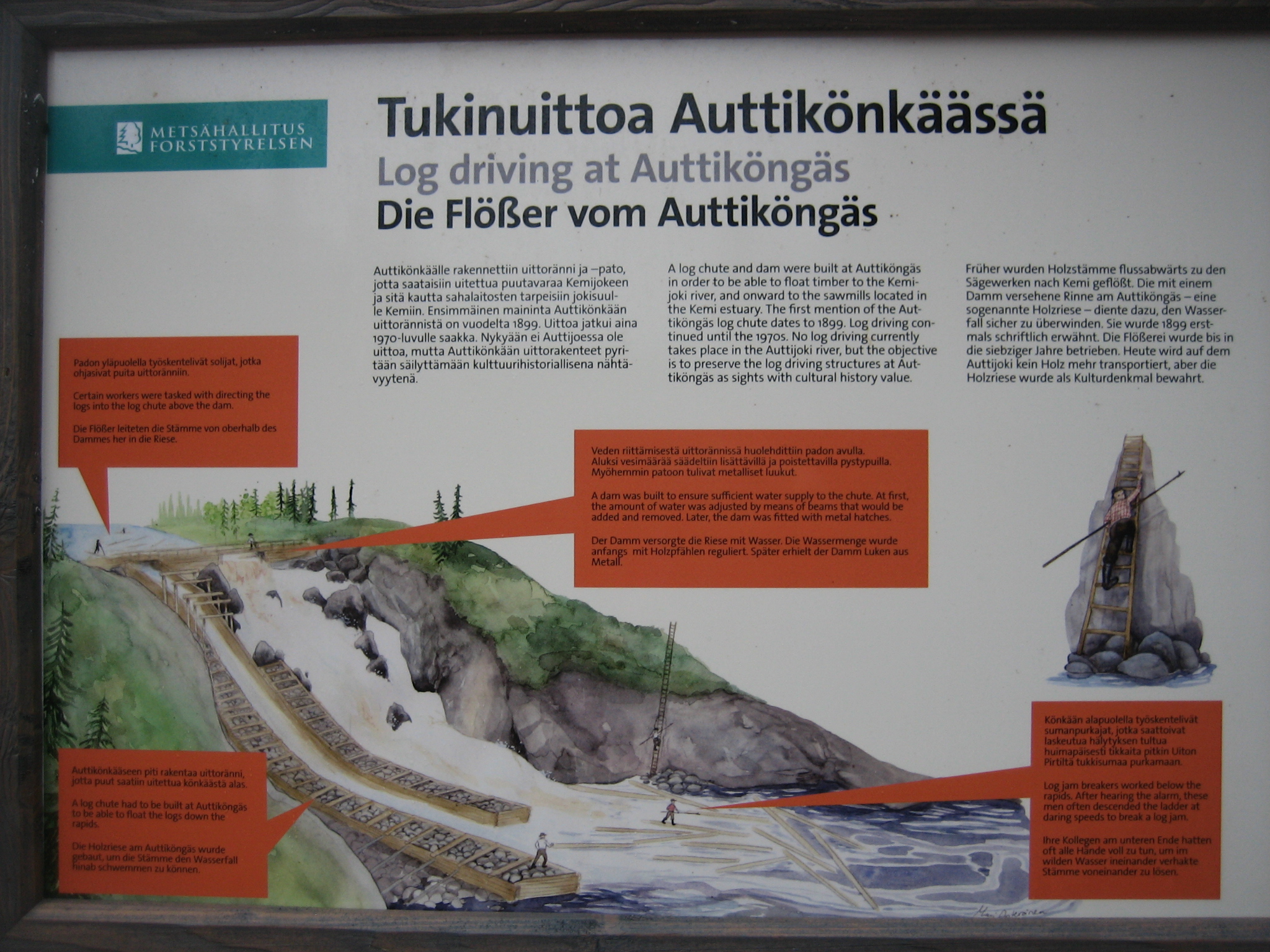
An information board in the beginning of the hiking route tells you about how the log driving were done and what the log workers were doing.
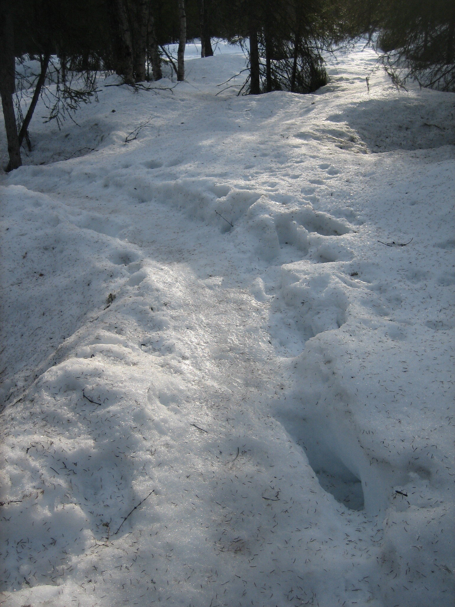
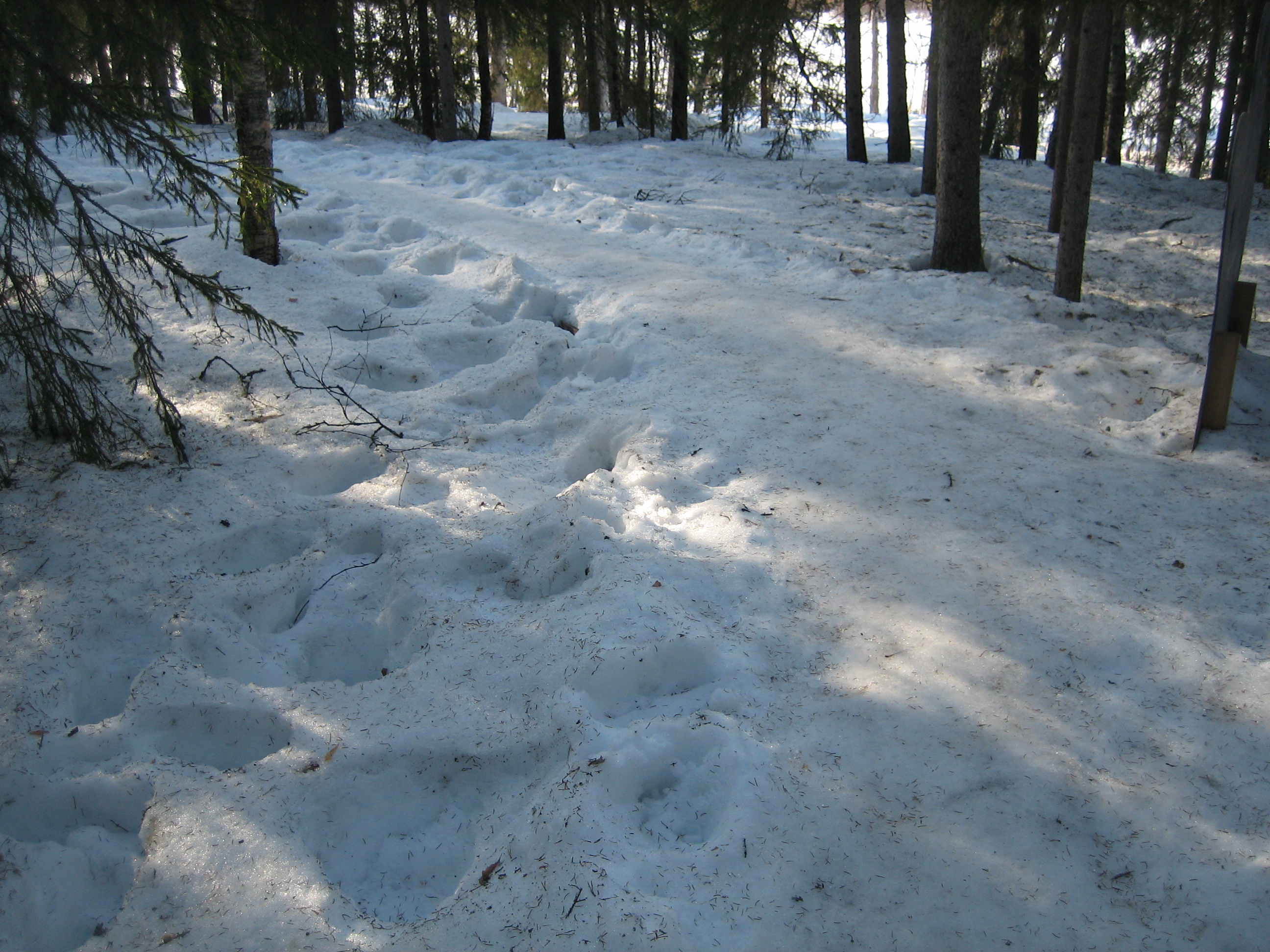
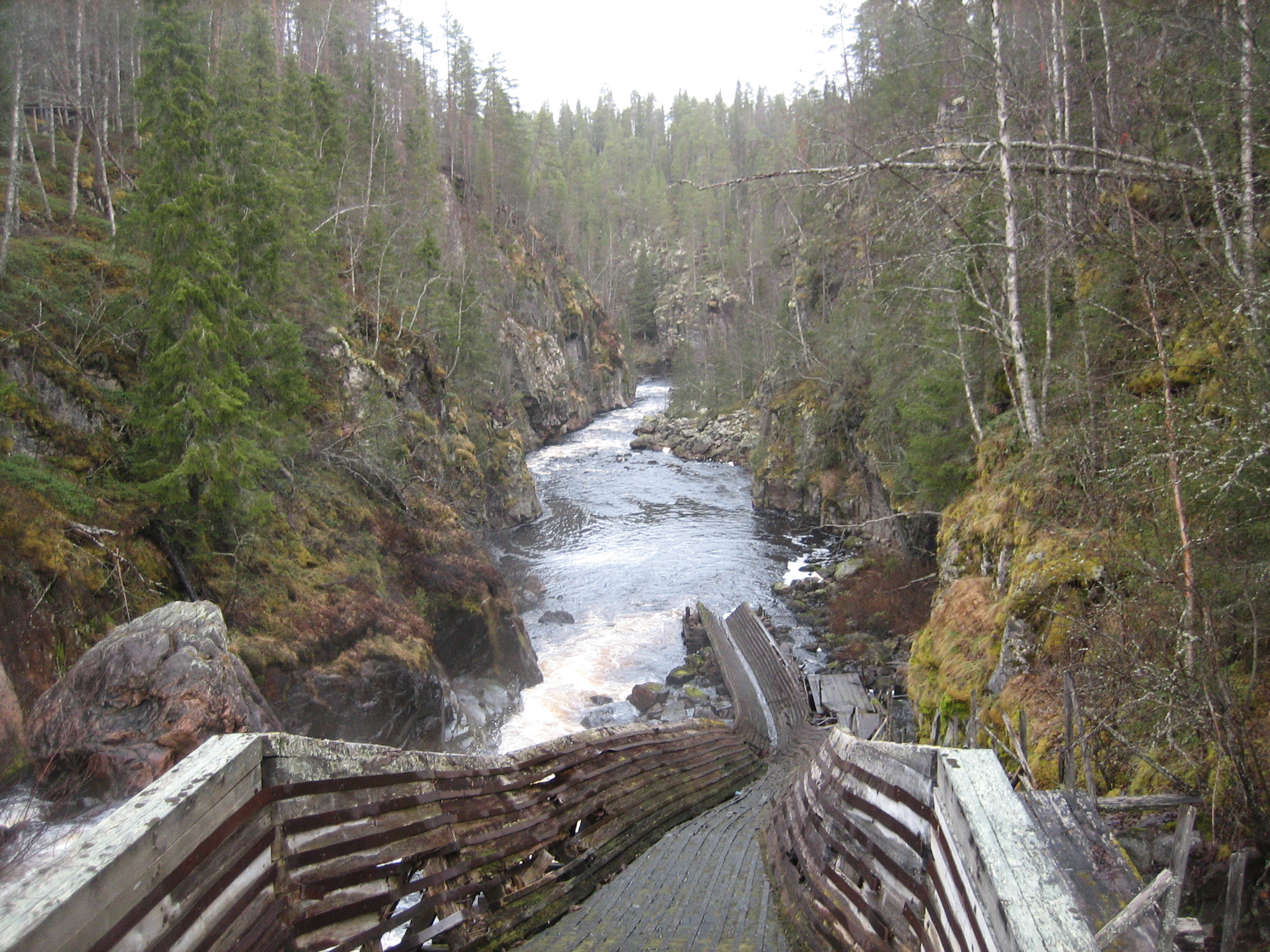
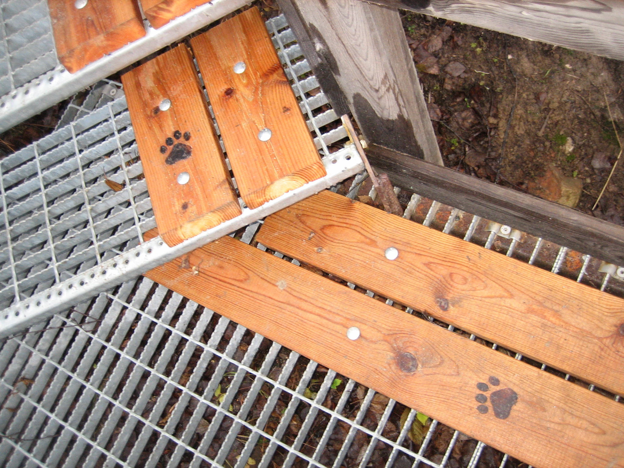
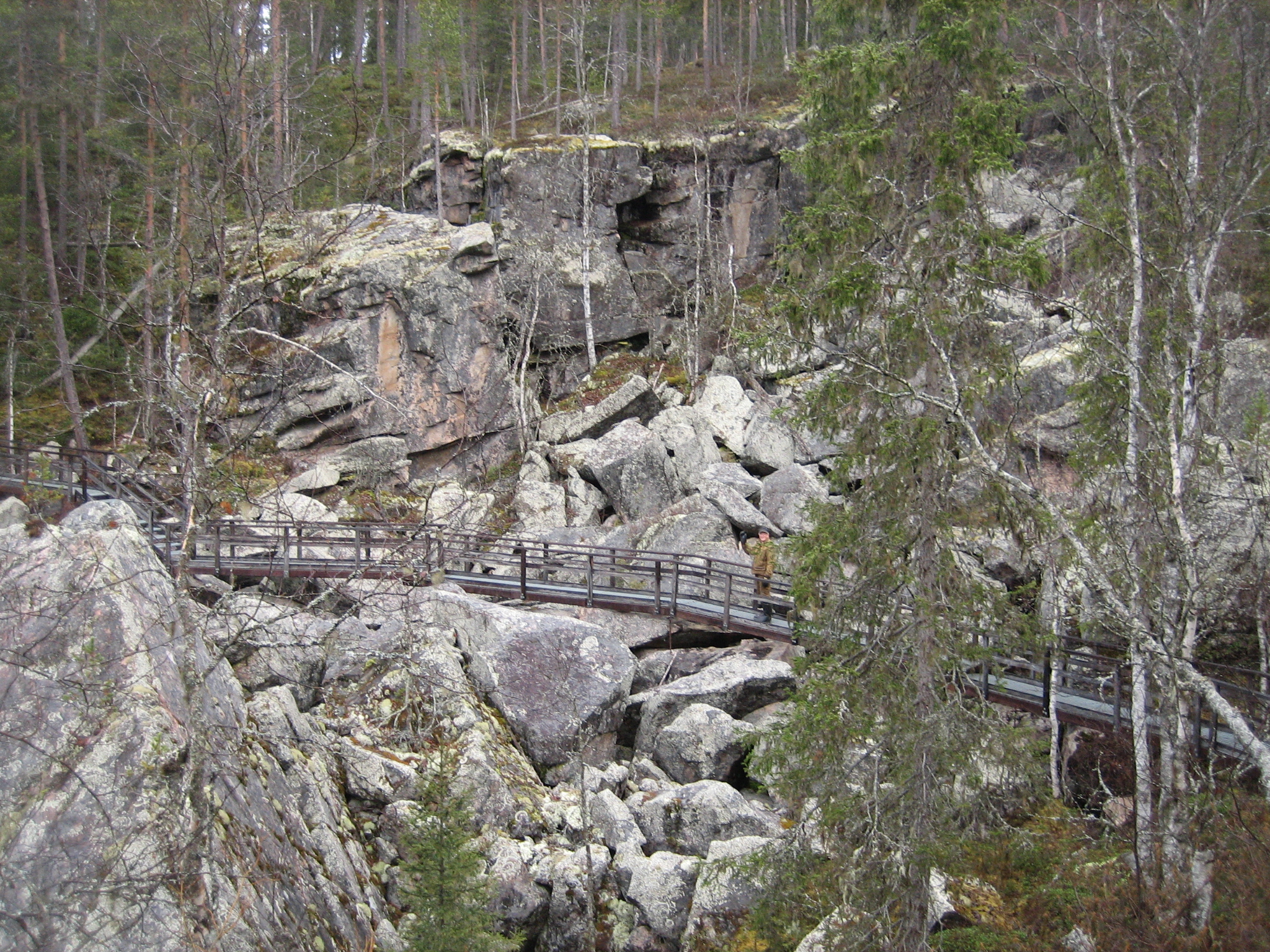
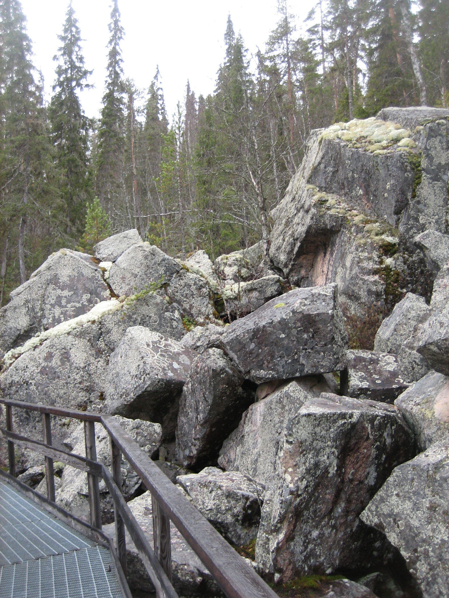
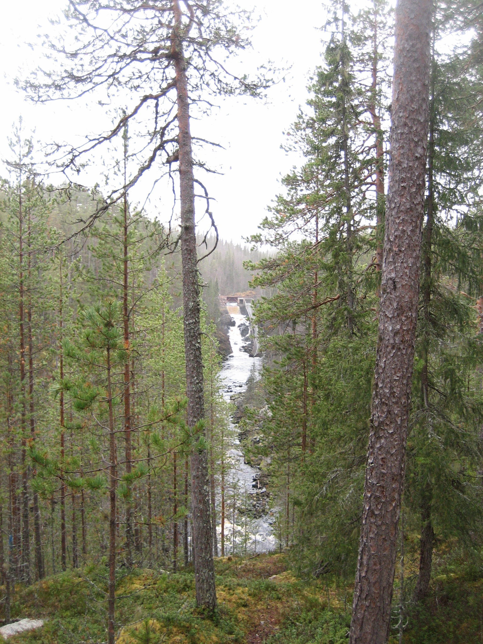
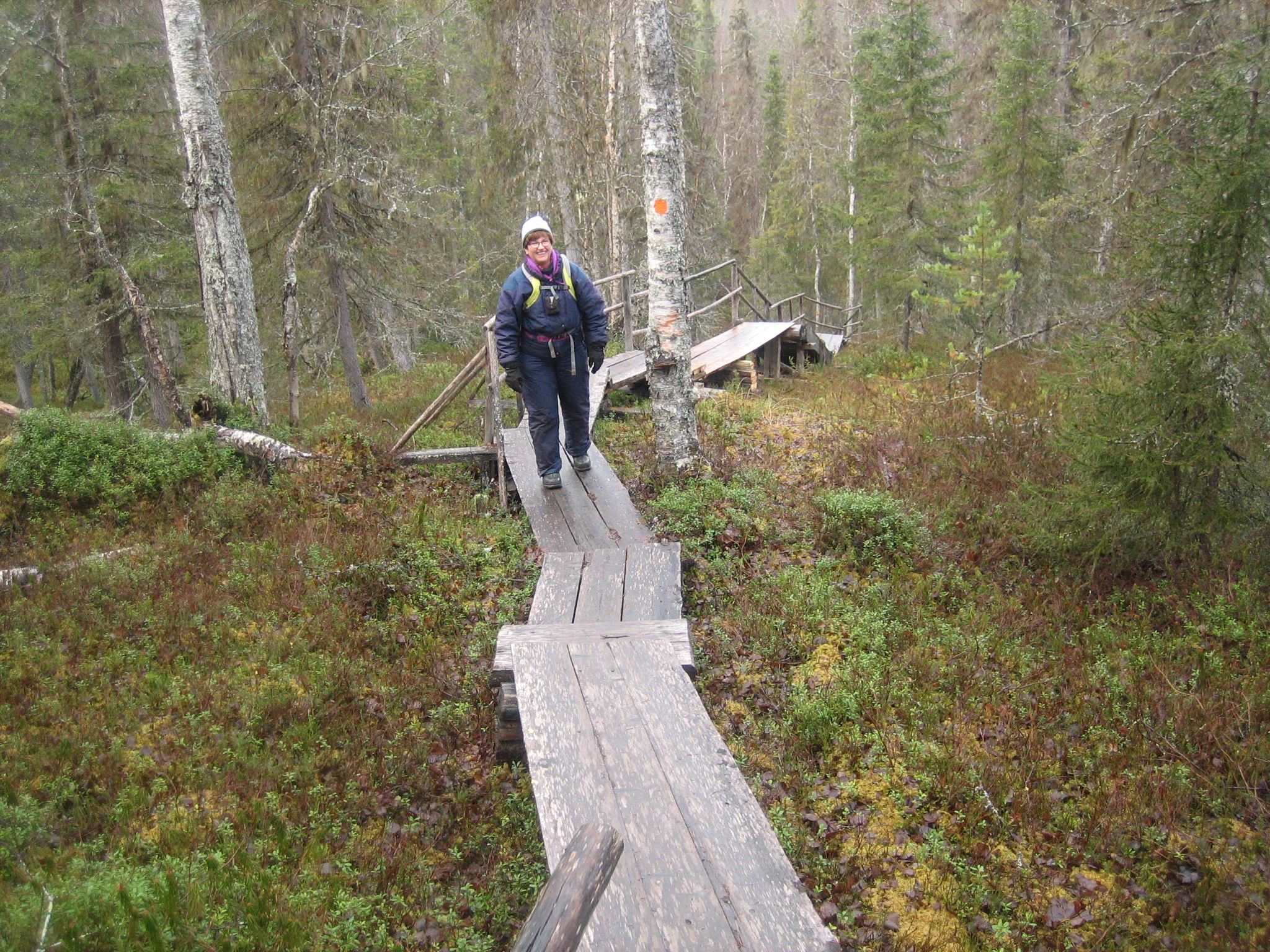
The hiking trail starts over a bridge leading you over the log chute. The water fall is 16 m high in an almost up right position. The trail continues along the east side of the canyon with some view points where you can stop and admire the sight of the rapid. It could be good to mention here that the hiking trail is partly built of iron and duckboards for easier access. For the dogs there are some special routes because they probably do not want to walk on the iron grid. There is also a special route for dogs and their owners in the forest to avoid all the stairs with iron grid that are necessary for access around the canyon.
Here is a map of the hiking route with the different sights and resting places.
At the time I started my hike there were also other hikers out on the trail and as I reached back to the parking lot again it was full of cars, which shows how popular this place is for visits even at this time of the year.
Along the banks of the Autti river you can stop and admire the view but the information boards along the route also tell you about the war history from this place. German soldiers have built structures ranging from trenches to shooting holes and artillery positions here. These were part of the Ringwall defence line constructed in the Rovaniemi area at the end of the Continuation war in 1945. The plan was to withdraw German units from the border between Finland and the Soviet Union to new positions in Northern Lapland and Norway. The intention was that fighting in the Auttiköngäs area would delay Soviet troups during the withdrawal. And that I really believe would have succeeded. The terrain here is hardly impossible to move around in or cross through! I was really surprised to find even a war history in this area. However, the Germans left the Auttiköngäs so rapidly that there were no batteries built here and some of the structures were not even finished.

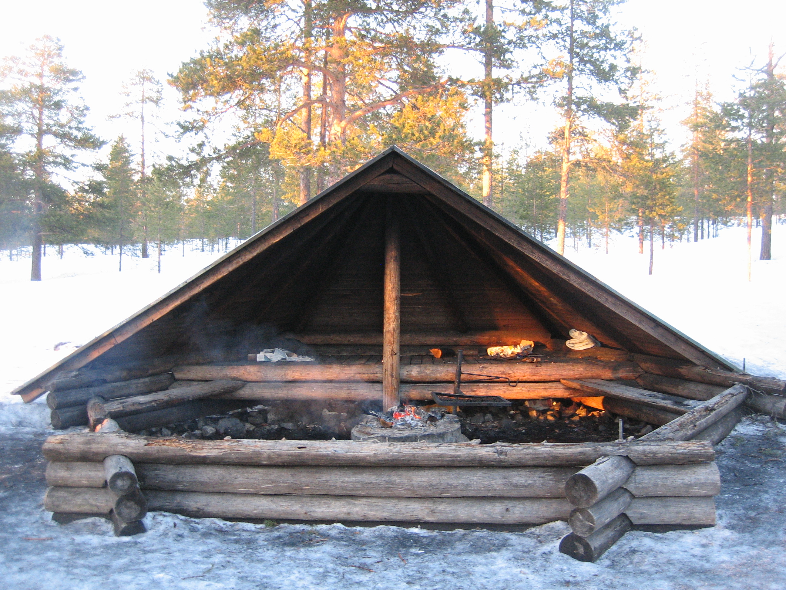
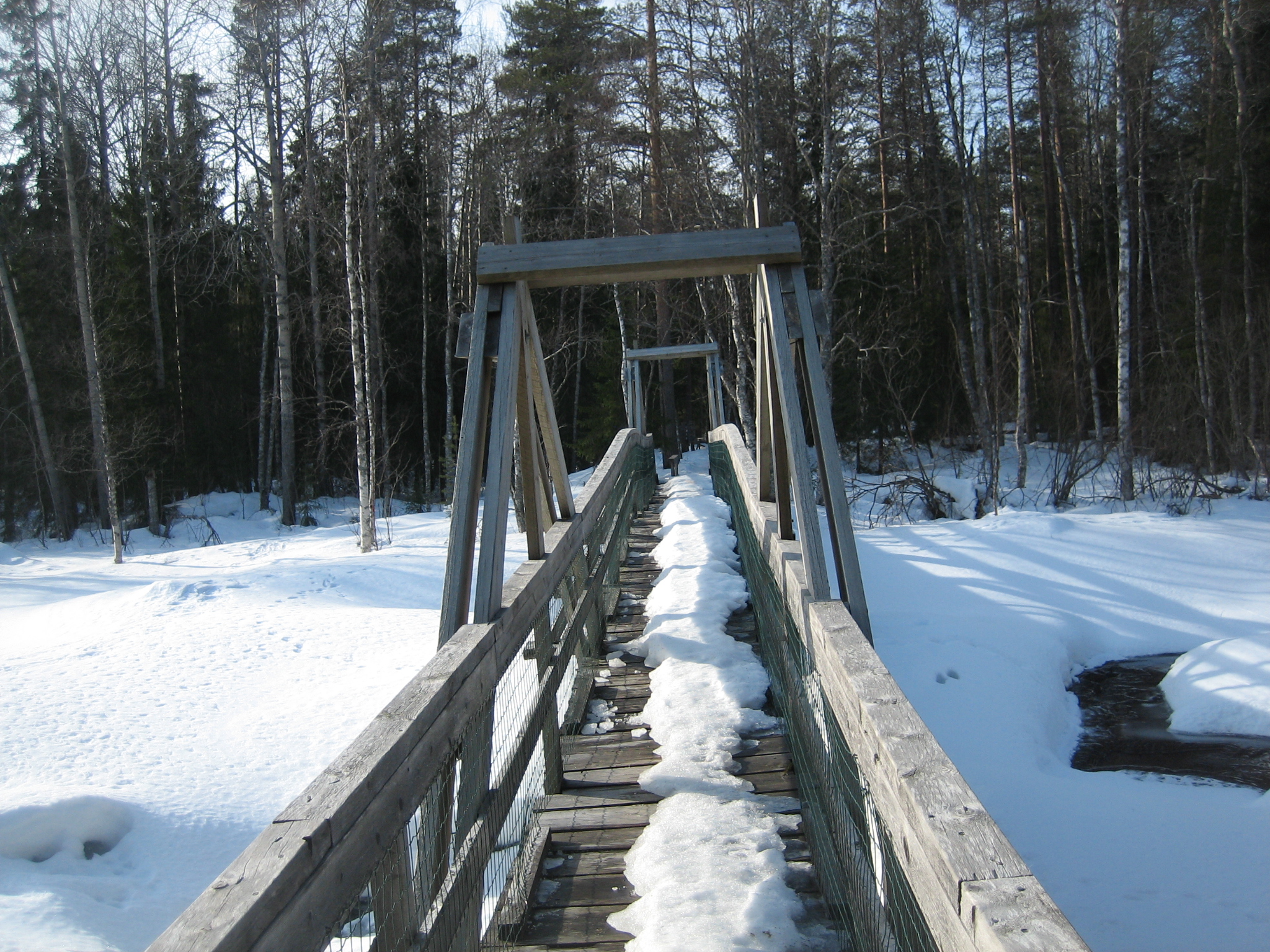
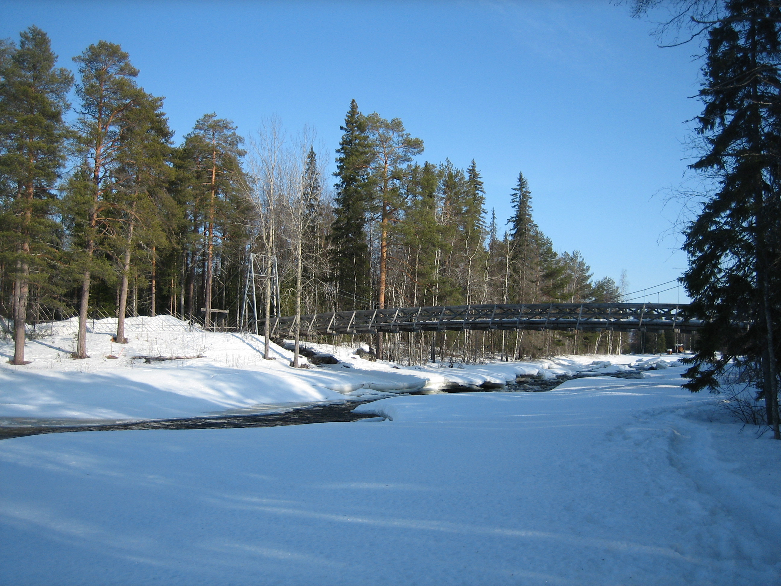
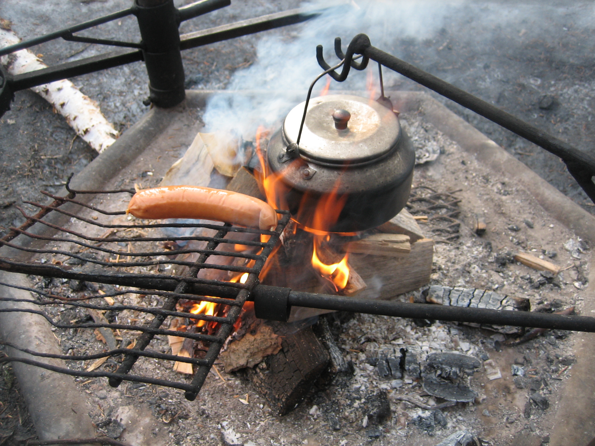
 Soon the trail leads you to the hootchie where you can sit down and eat your picnic, fry your sausages or just admire the view. From the hootchie a suspension bridge brings you to the other side of the river Autti. This place is not in the canyon any more and the bridge hangs just above the water surface and is very easy to access.
The terrain so far has been partly challenging with all the high stairs to climb, but just before the hootchie the path starts to go down and easens up your walk a little.

There were several people at the hootchie already as I arrived. One man was anxious to tell me about how he had been taking part in log driving in his youth about 60 years ago. He was probably in his 80:ies now.
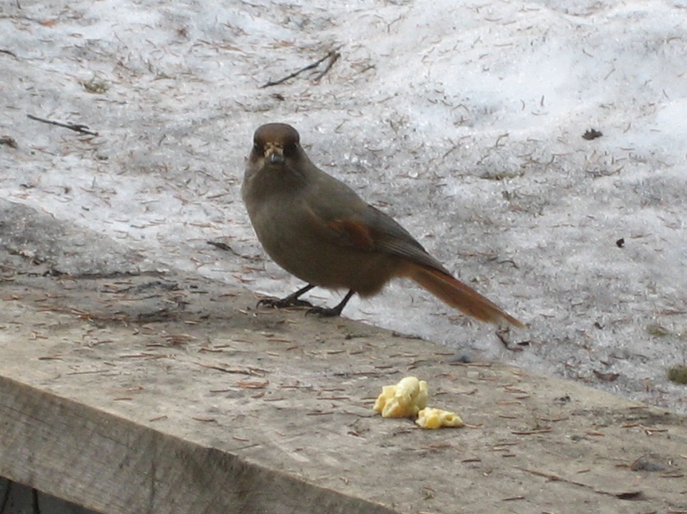
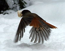
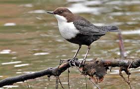
They all wanted to tell me about the Siberian Jay birds that were around in the place. I could, myself, soon experience how a almost tame Siberian Jay came and picked some bread from my hand.
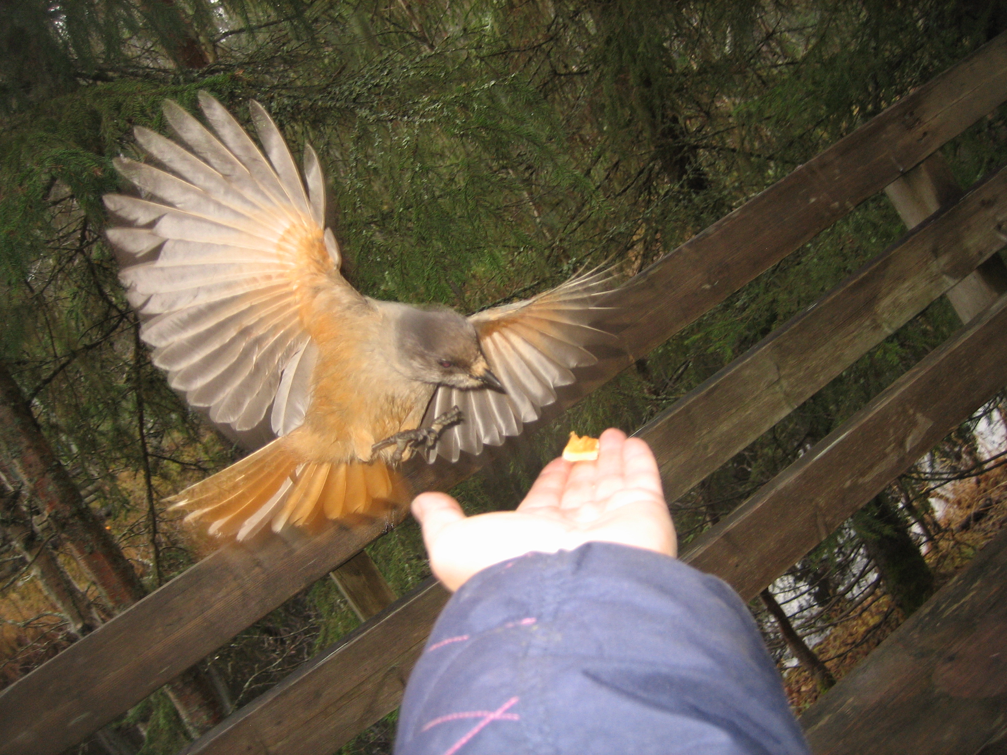
There were four Siberian Jays in the place and they all soon came and picked up some breads we visitors gave them. The Siberian Jay is called “the bird of luck” here in Finland. I still do not know what kind of luck these birds will bring to me. Waiting for that.
Siberian Jays are living in old spruce forests and are known to visit the fire places where the lumber jacks used to give them something to eat in the old days. I have met Siberian Jays on several fire places here in Lapland during the last years. In the picture you can see the Jays picking up the left overs from the benches of the hootchie. 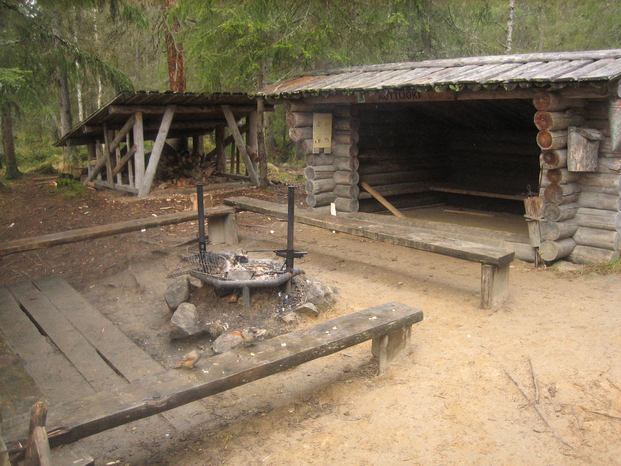
If I thought the walk to the fire place was challenging I had no idea of how challenging the last part of the trail would be. After crossing the river on the suspension bridge stairs would lead me up to the top of the hills again.
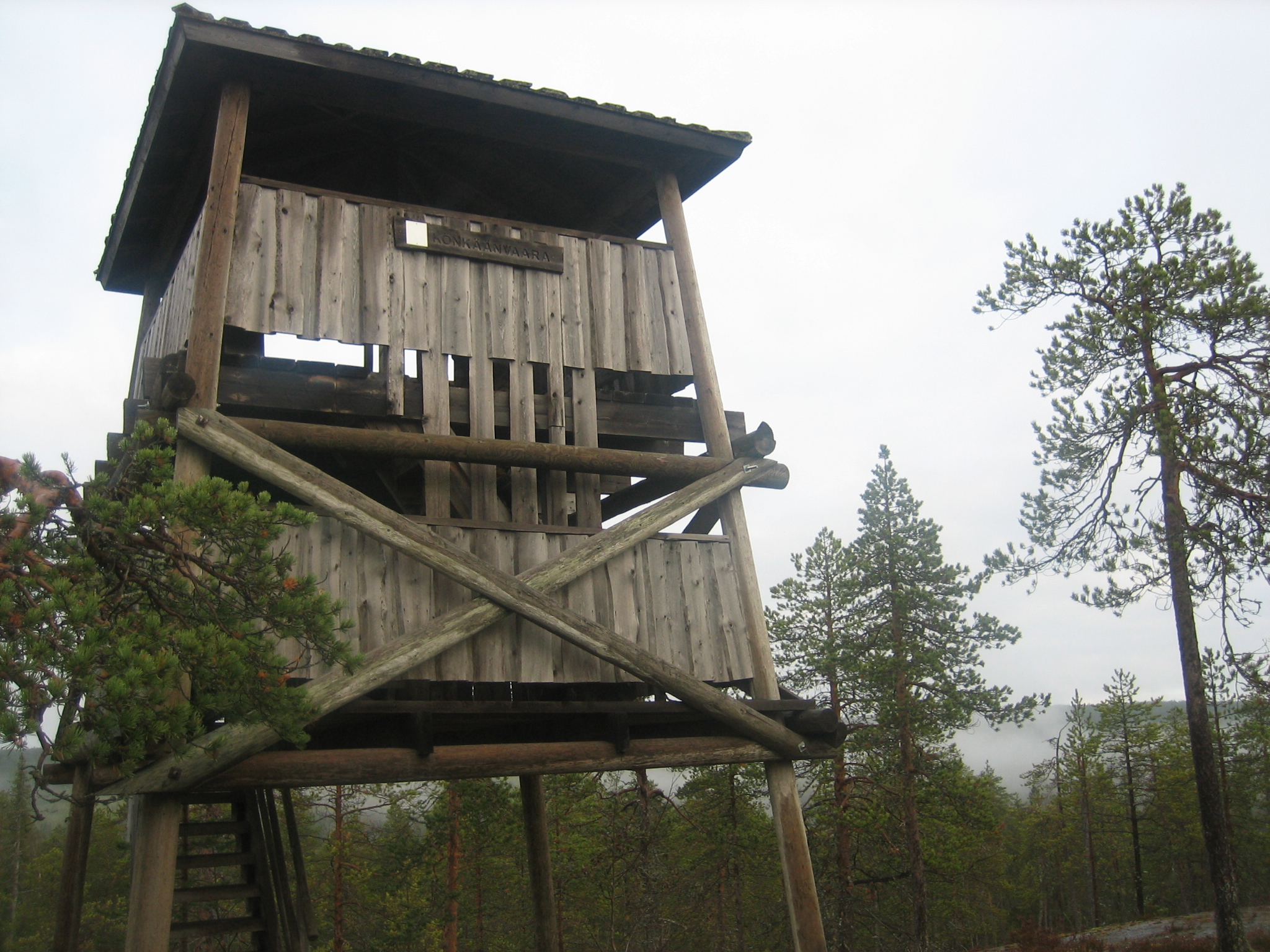
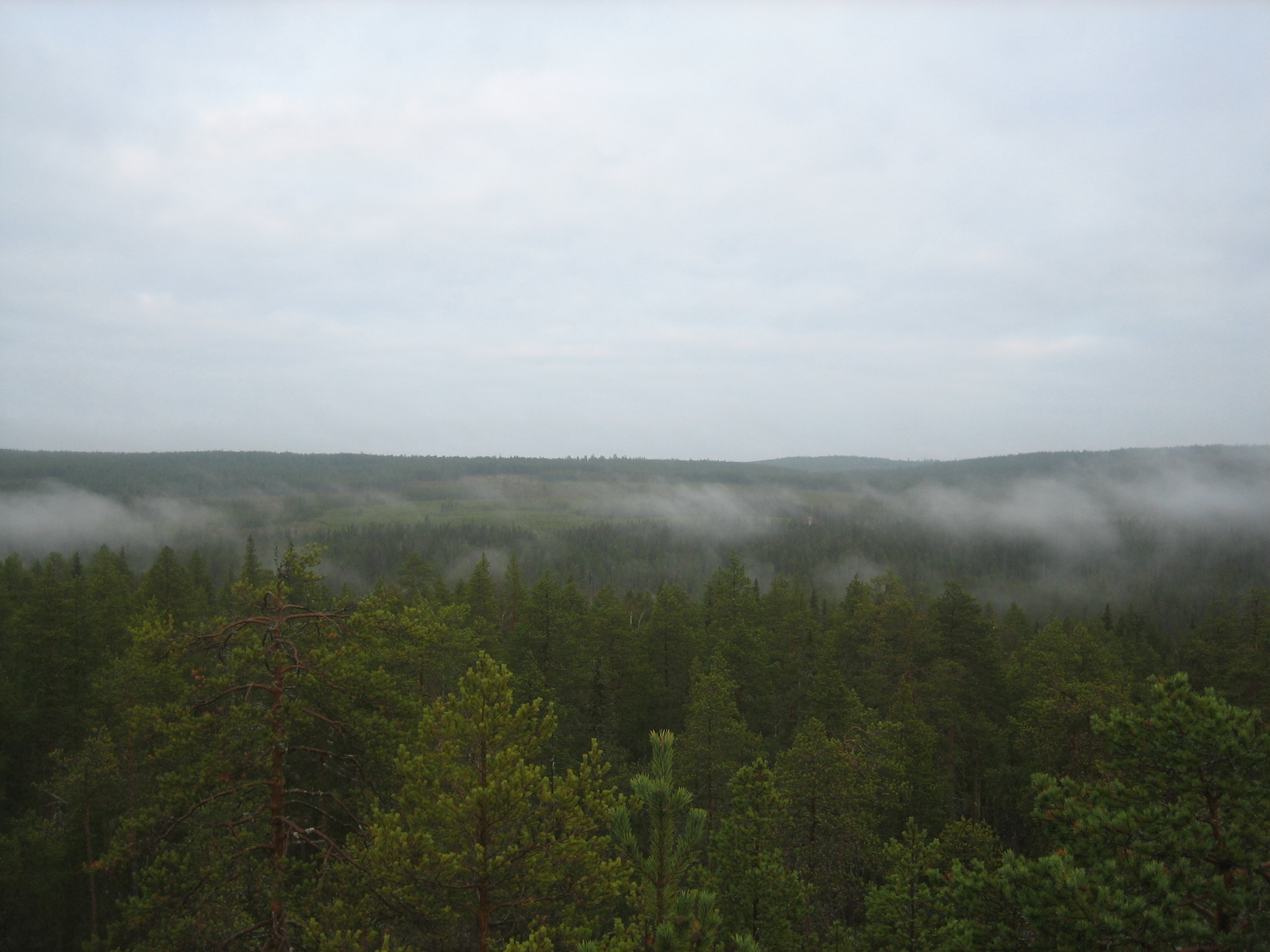
The trail lead me up to the top and to the bird watching tower up there. This day was not the ultimate for view watching because of the fog above the river.
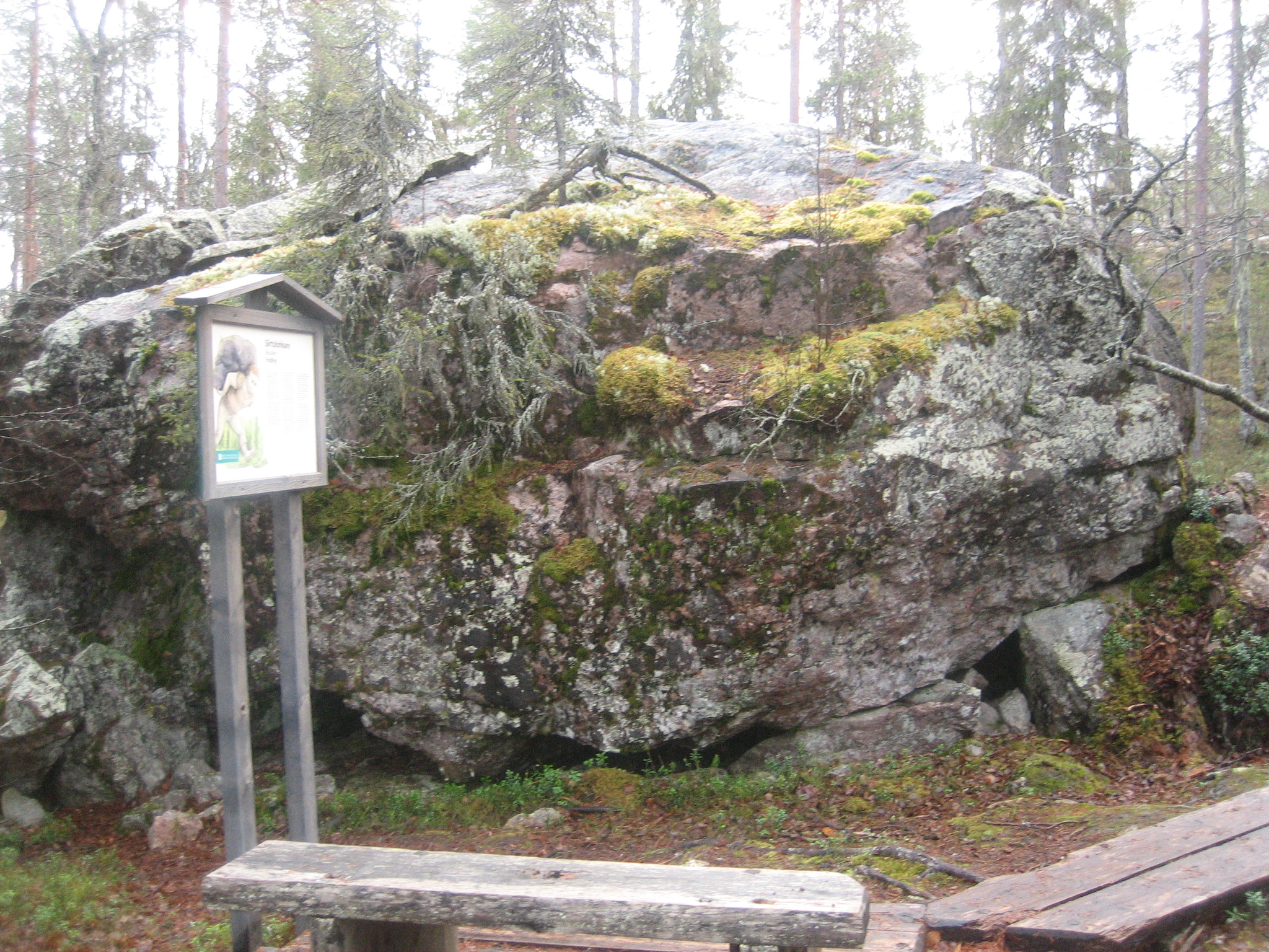
The rest of the trail was quite easy to walk and information boards told me about the forest and the glacial erratics situated all over the place. A glacial erratic is a piece of rock that differs from the size and type of rock native to the area in which it rests. “Erratics” take their name from the Latin word errare, and are carried by glacial ice, often over distances of hundreds of kilometres. Erratics can range in size from pebbles to large boulders.