Hiking in Korouoma canyon in Lapland, part 2

As I menitoned in my post from 2013 Hiking-in-korouoma-canyon I have since then been dreaming of making more hikings in Korouoma. Finally this autumn I got this second chance.

Me and my friend and her dog Topi spent a day hiking in Korouoma on October 22, 2018. We started our trip from the cabin nearby where we had spent the night. The weather was a fantastic October morning with no wind and around +1 degree. At arrival to the parking lot at the place called Saukkovaara, I saw a young couple getting into their car and leaving. They had already been hiking in this frosty morning and I noticed they were all sweaty, which made me wonder a little. After our hike I did not wonder anymore…..

The Korouoma canyon is all together 30 km long and on my first hike here we made about 6 km (which is about 3 km in one direction and then back). At that time we started from the place Koivuköngäs.
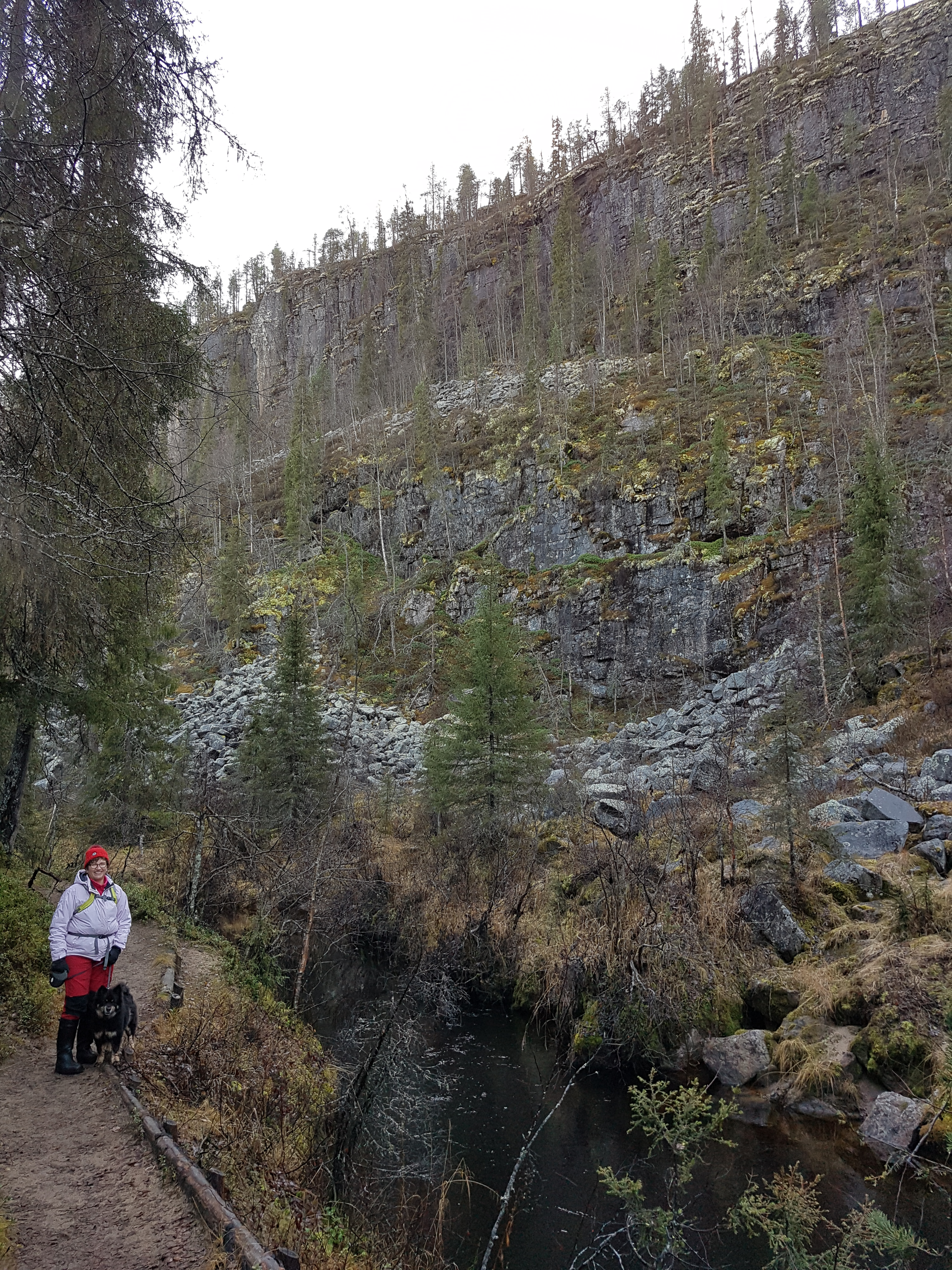
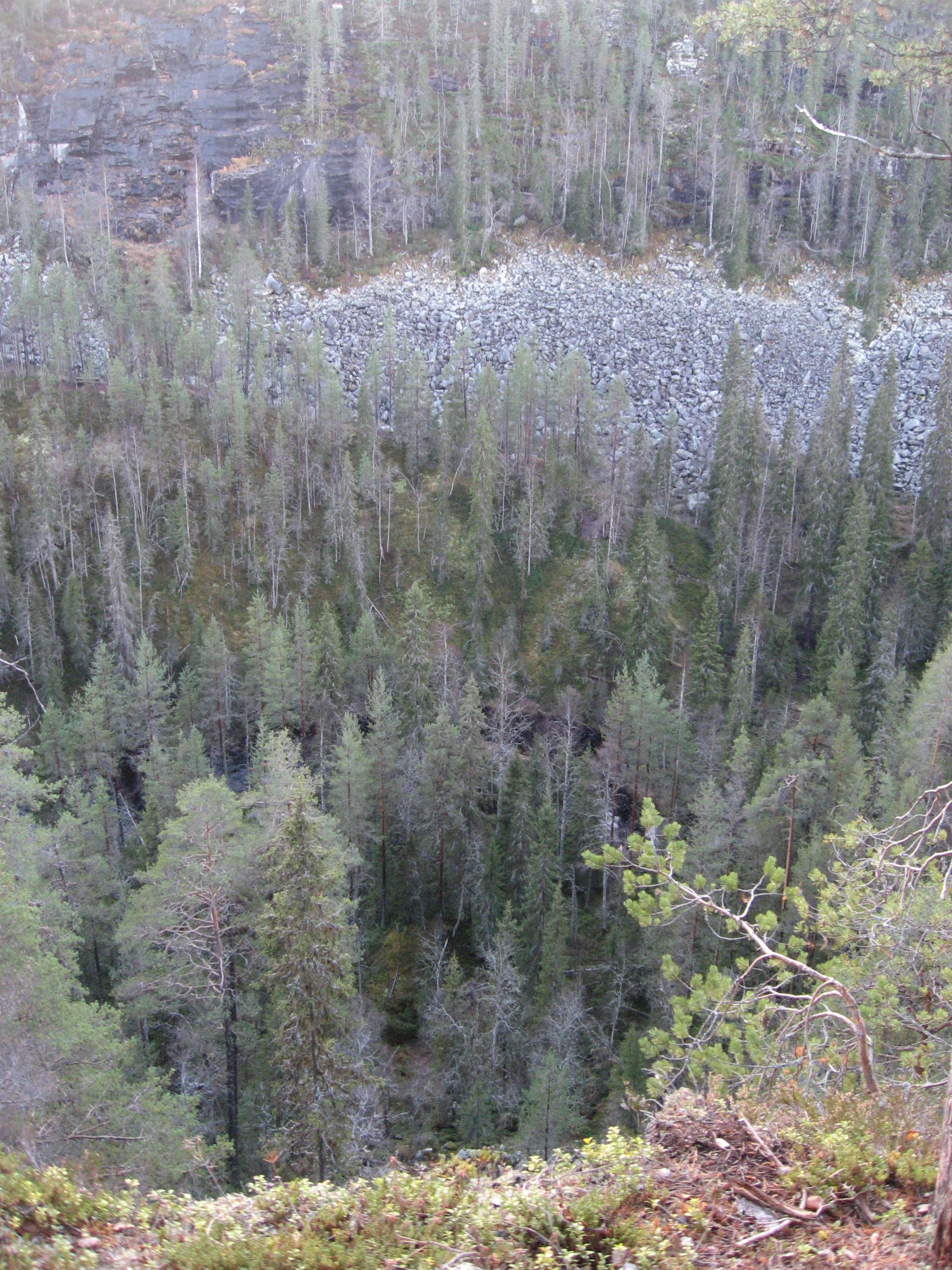
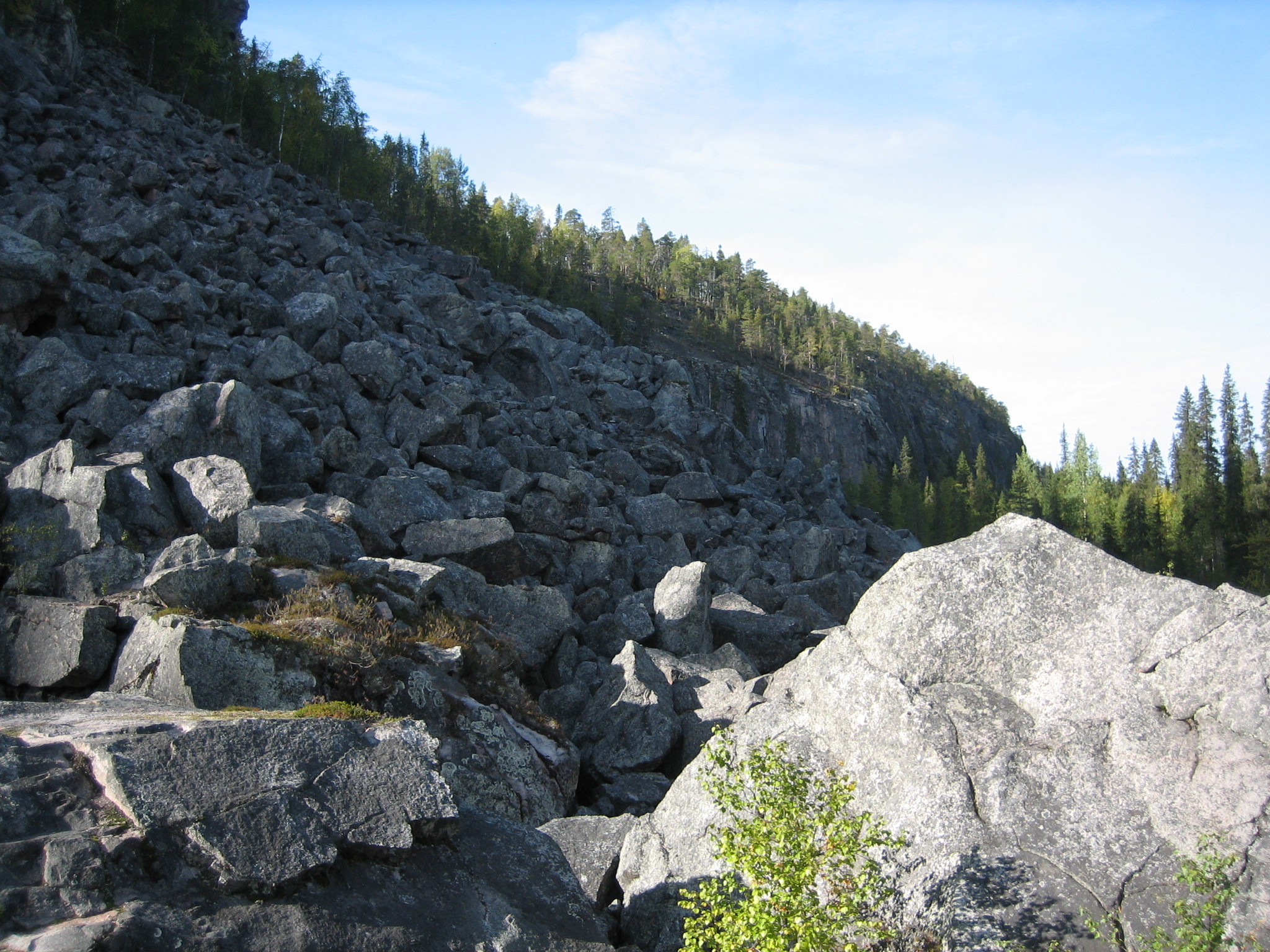
Korouoma is known as the biggest canyon in Finland and is hundreds of millions of years old. In the centre of Korouoma the fracture valley forms a canyon that has worn its way into the surrounding terrain. At its deepest the gorge is approximately 100-130 metres deep. Its cliff walls are tens of metres high and extremely steep and at points vertical. The bottom of this canyon is 200 to 500 metres wide. Parts of the canyon have become boggy and the narrow twisting River Korojoki meanders through it.

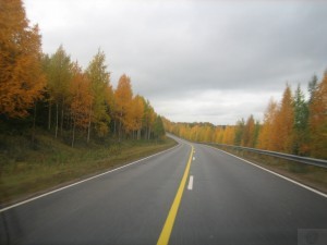
This time we chose Saukkovaara as the starting place. Saukkovaara is situated in the village of Pernu in the munincipality of Posio in the south-east of Lapland, 115 km from Rovaniemi. Directions from road 81 (Rovaniemi-Posio): At the village of Pernu turn right onto a local road at the sign for Selänsalmi. Drive for about 2 km and turn right at the sign to Korouoma. From this intersection it is about 3 km along a forest road to Saukkovaara, where you can find a parking area and information boards.
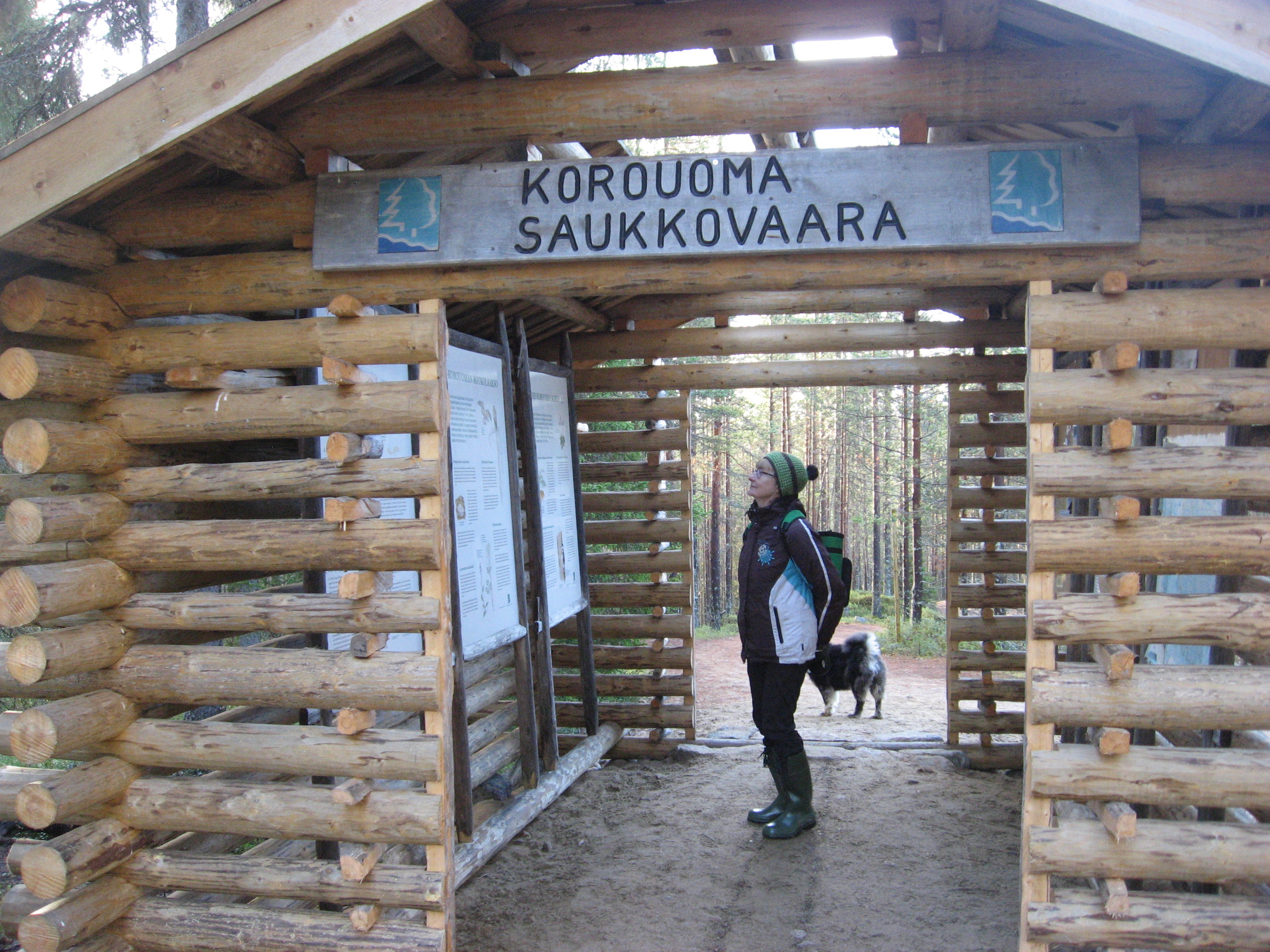
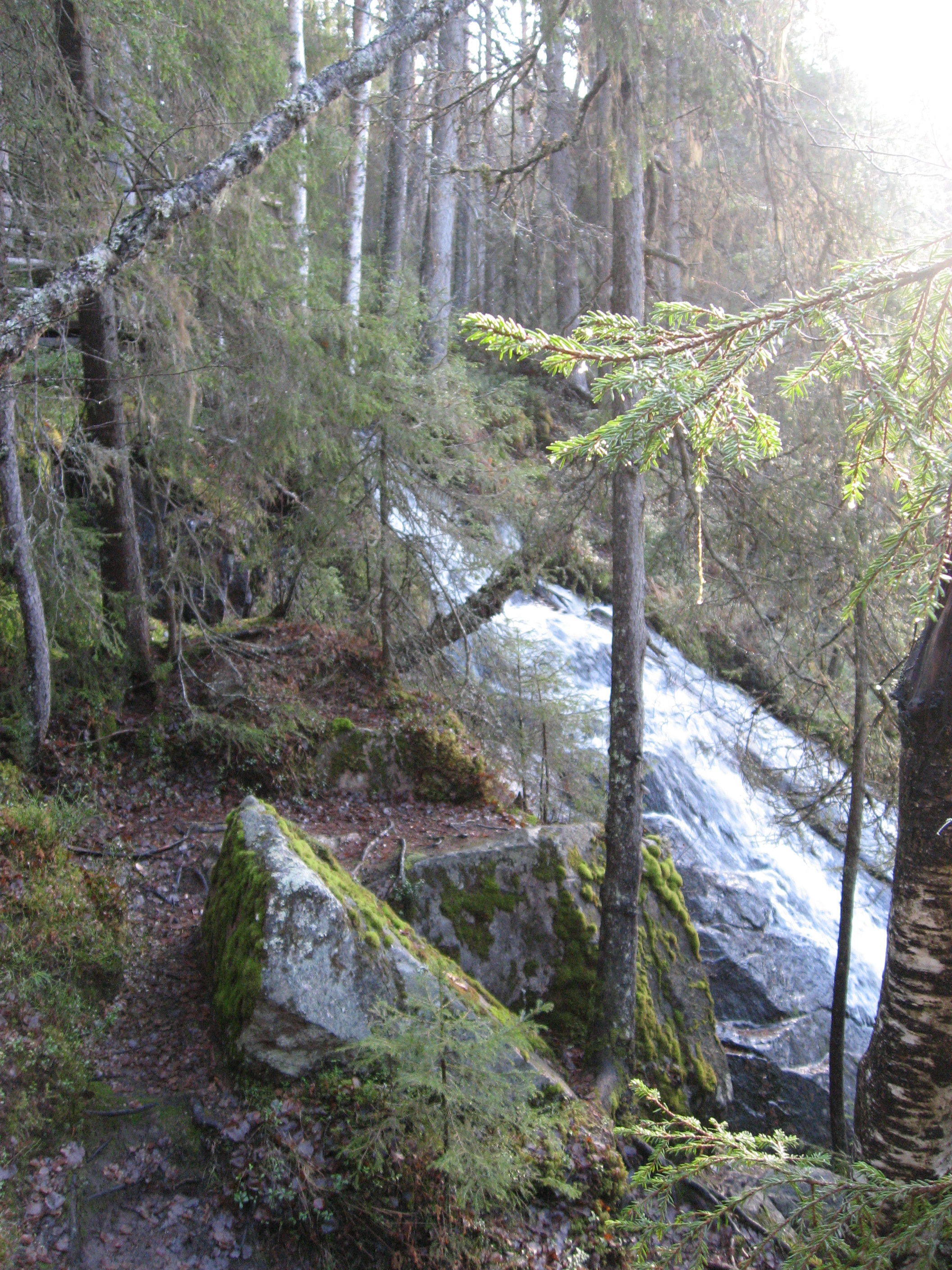
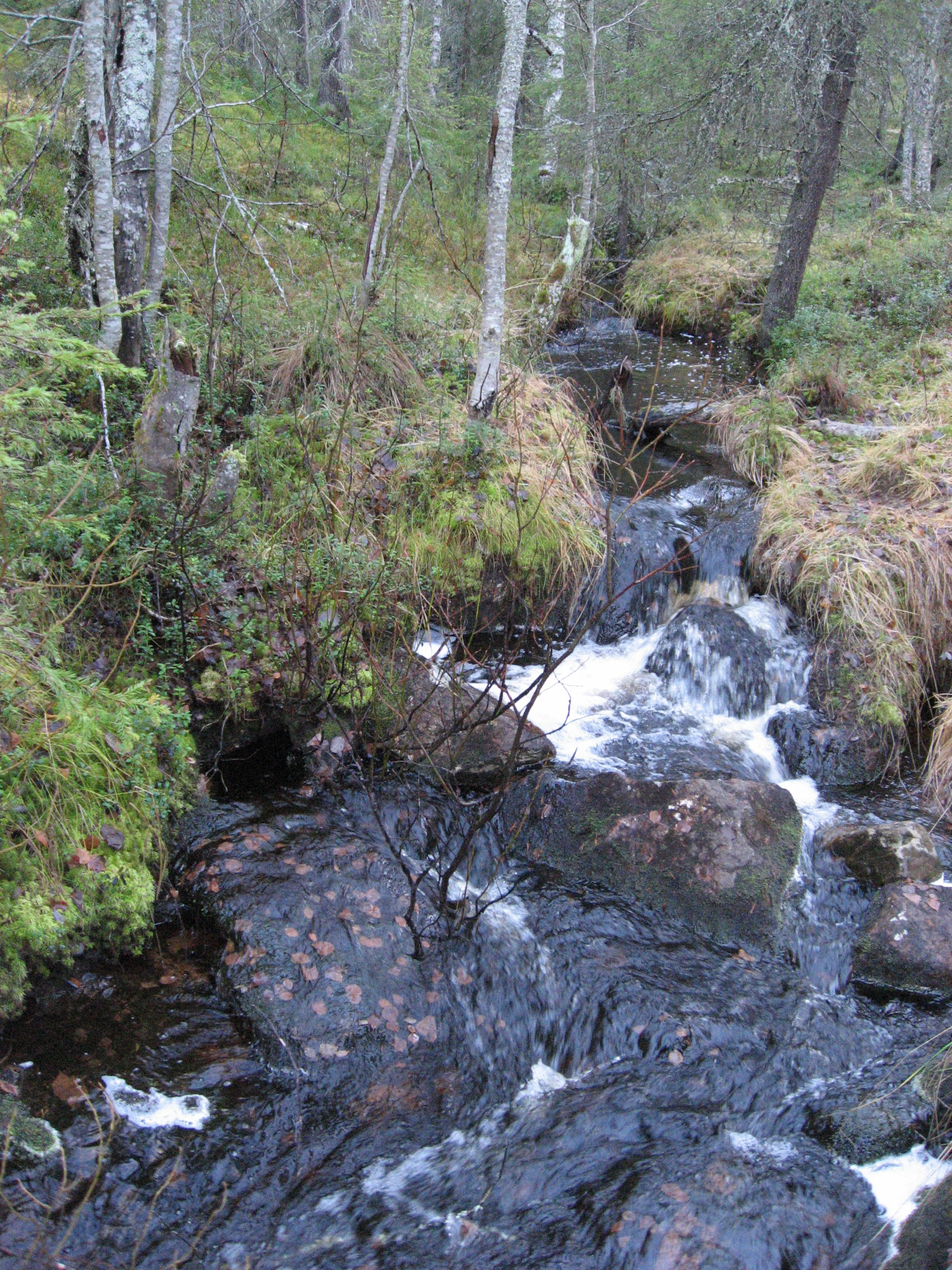
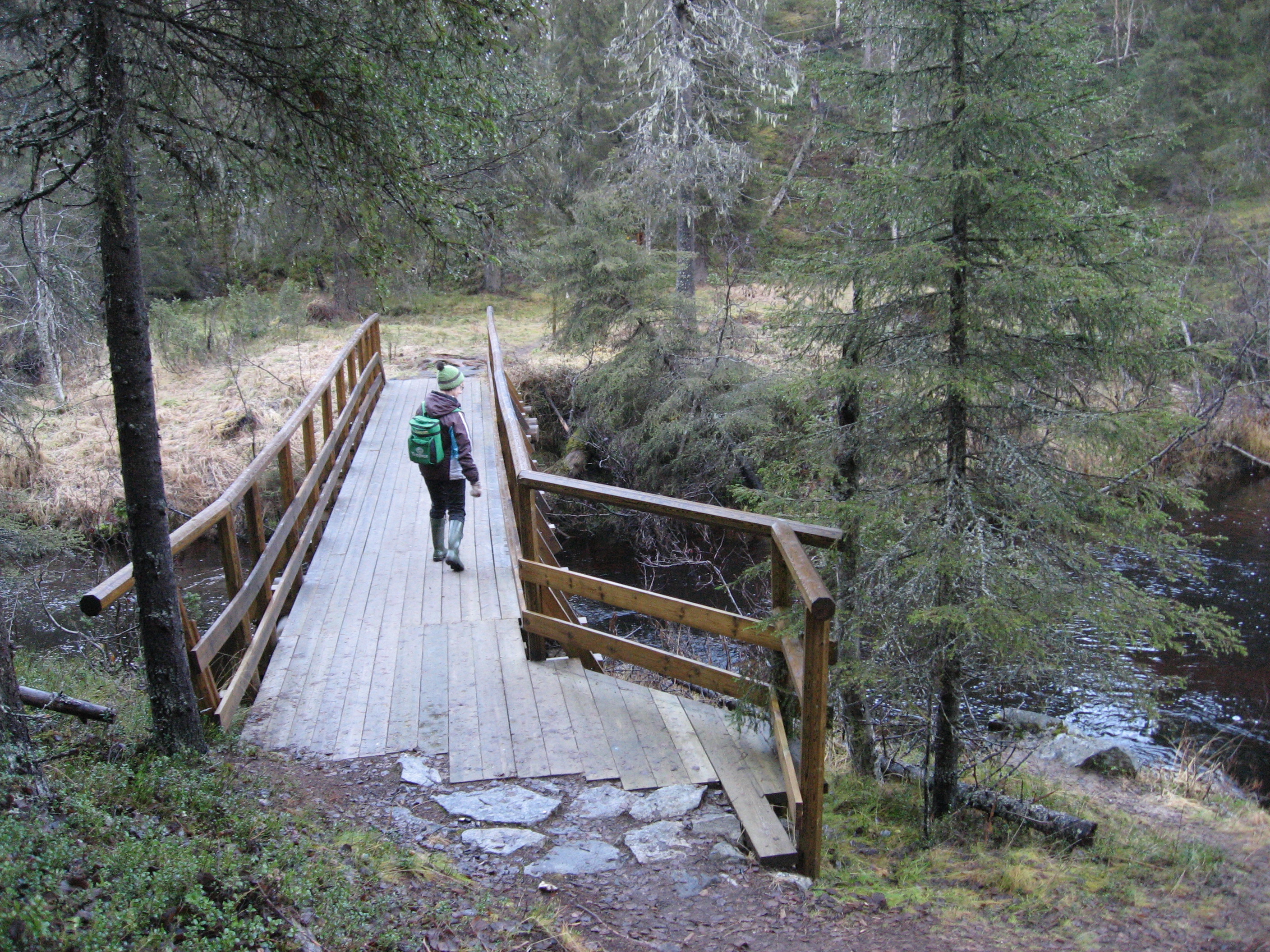
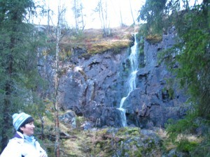
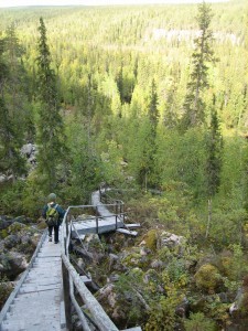
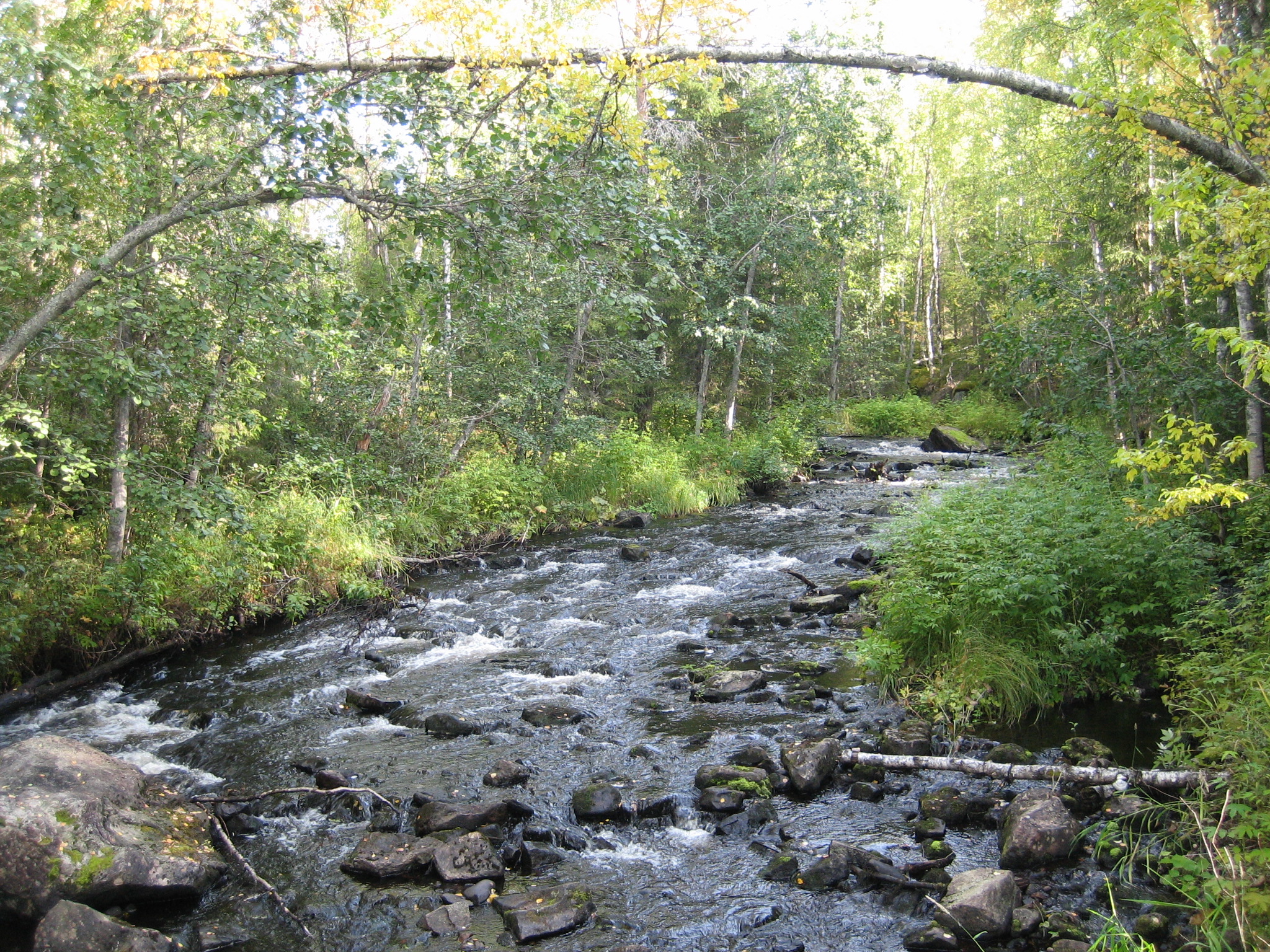
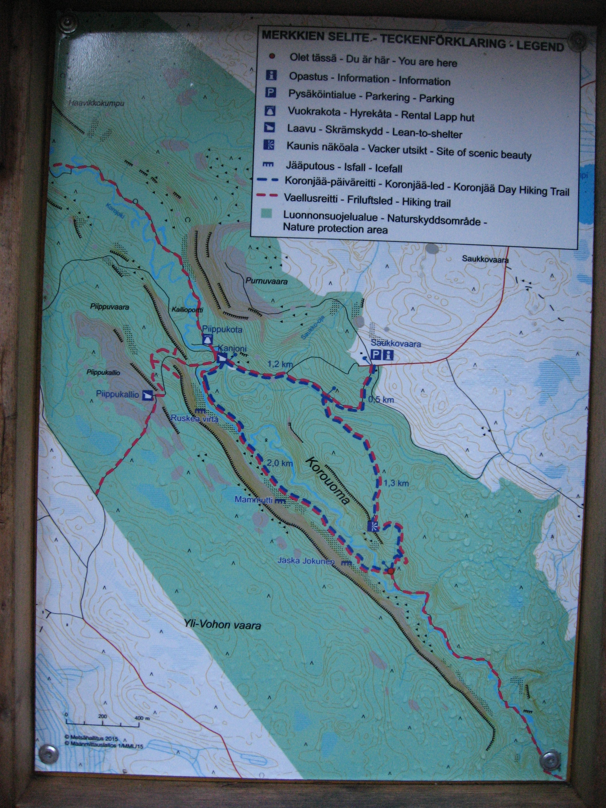
We chose the 6,5 km hiking route marked as a round trip on the map. It is marked demanding and suitable for people with good health. The path started nicely going down into the canyon and we stopped to enjoy a waterfall on the way down to the bottom. On the bottom of the canyon there is the small river Korojoki going the whole way through Korouoma. Hikers can use bridges to get from one side of the river to the other side. The hiking route is very well marked and on the maps along the route you see the places worth visiting and places where you can stop for a break and places for good photos.

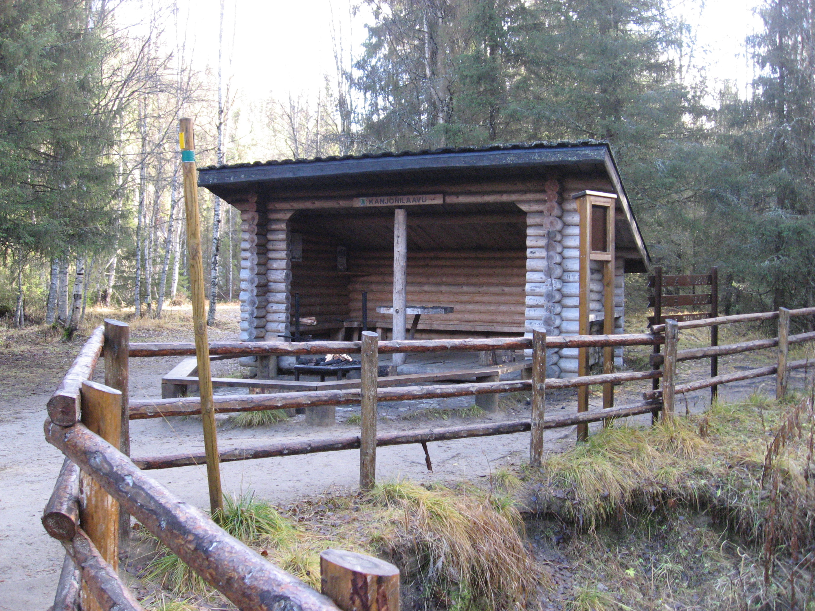
The first place for a break and possibility to make a fire came a little suddenly for us; after 1,7 km. We had already had a nice breakfast in the cottage and we were not prepared for a stop, yet.

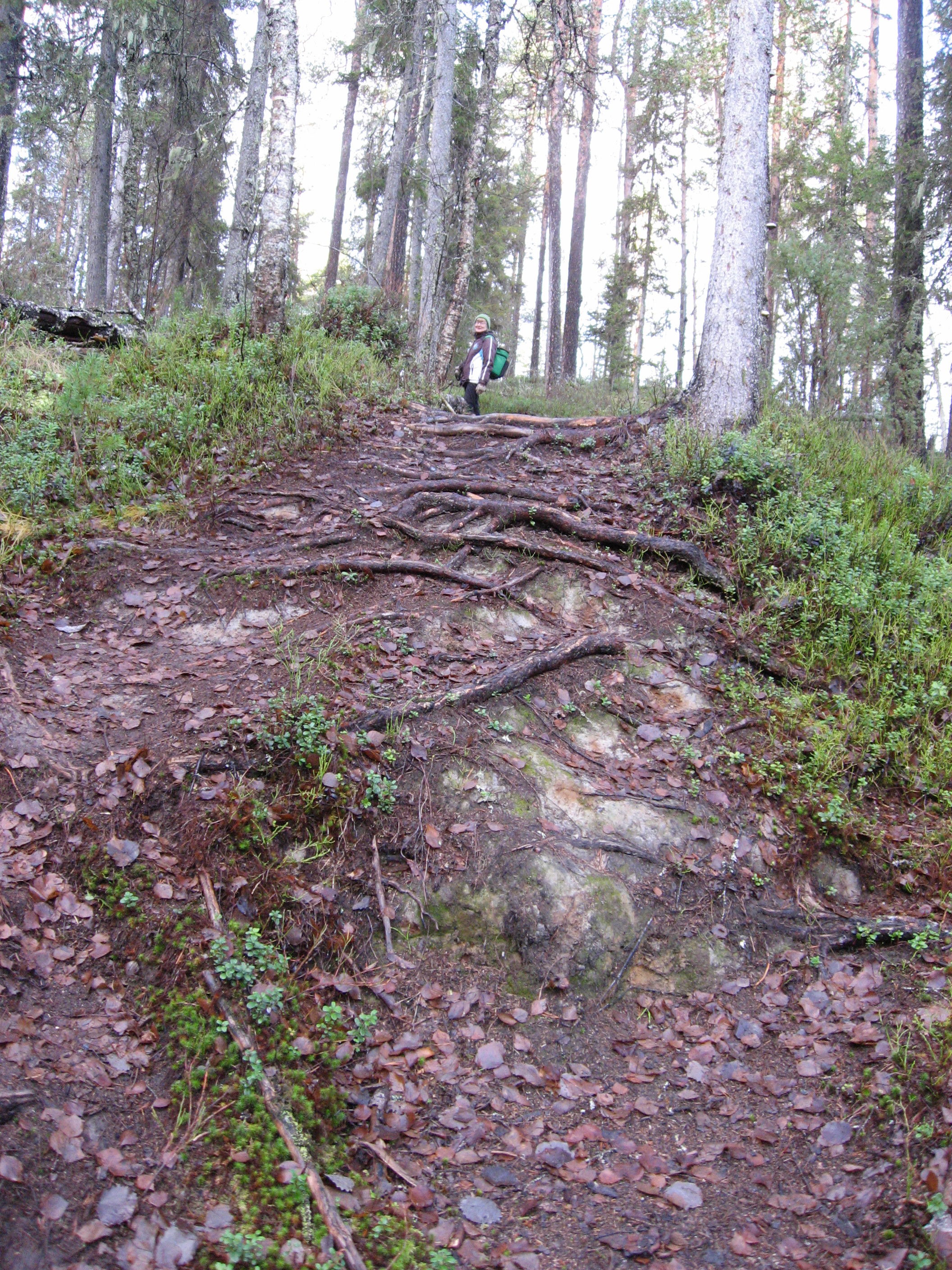
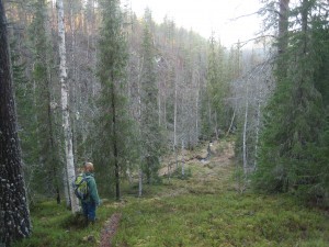
Our next goal would be the Piippikallio, where we could find the next shelter. And on we went….Piippukallio is a place situated on the edge of the canyon. This fact I did not realize until later….We started climbing up, up and up. The path was full of stones and roots. We saw parts of old stairs been taken away from the path. For now we had to manage climbing with the help of the stones.

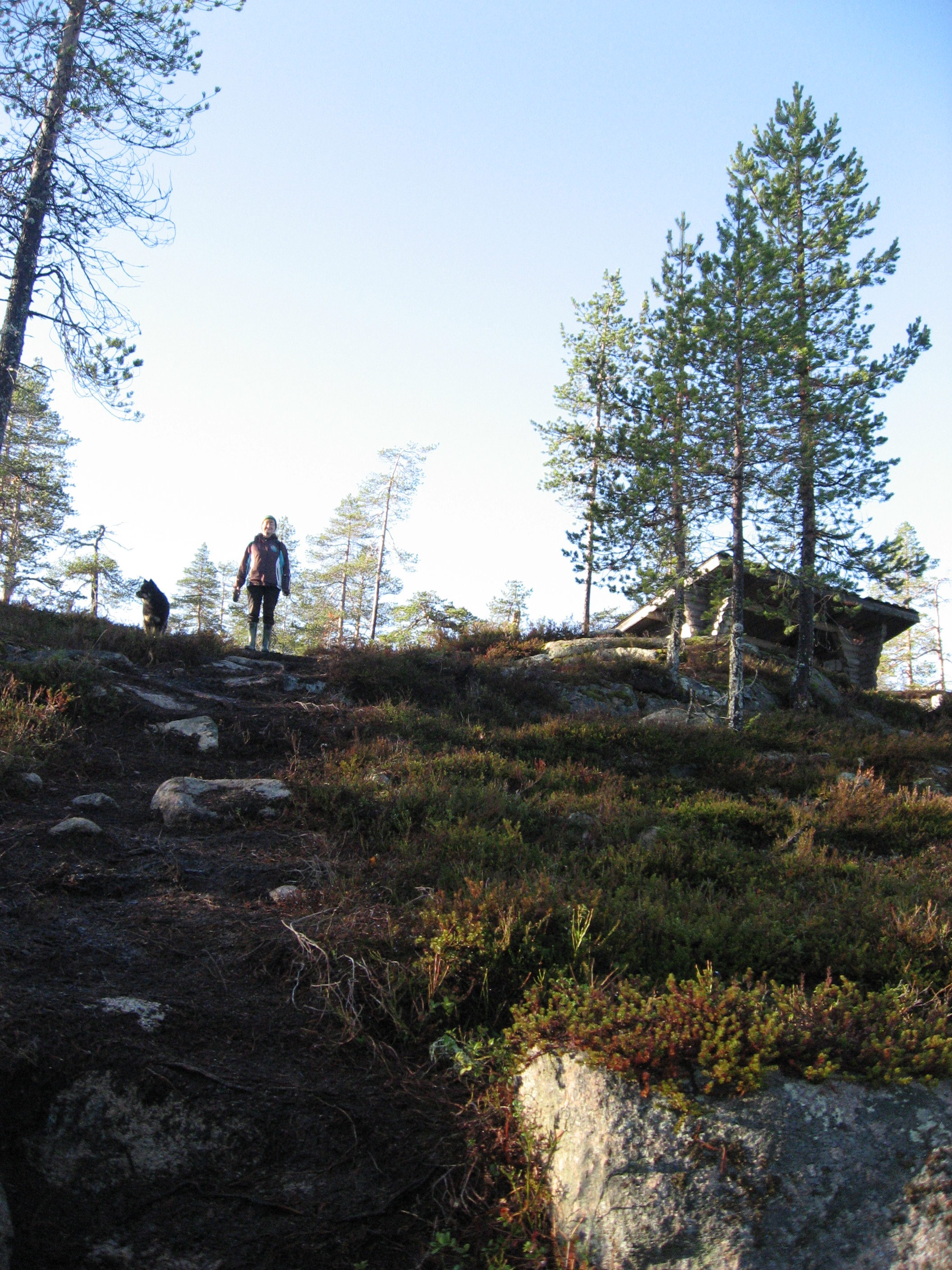
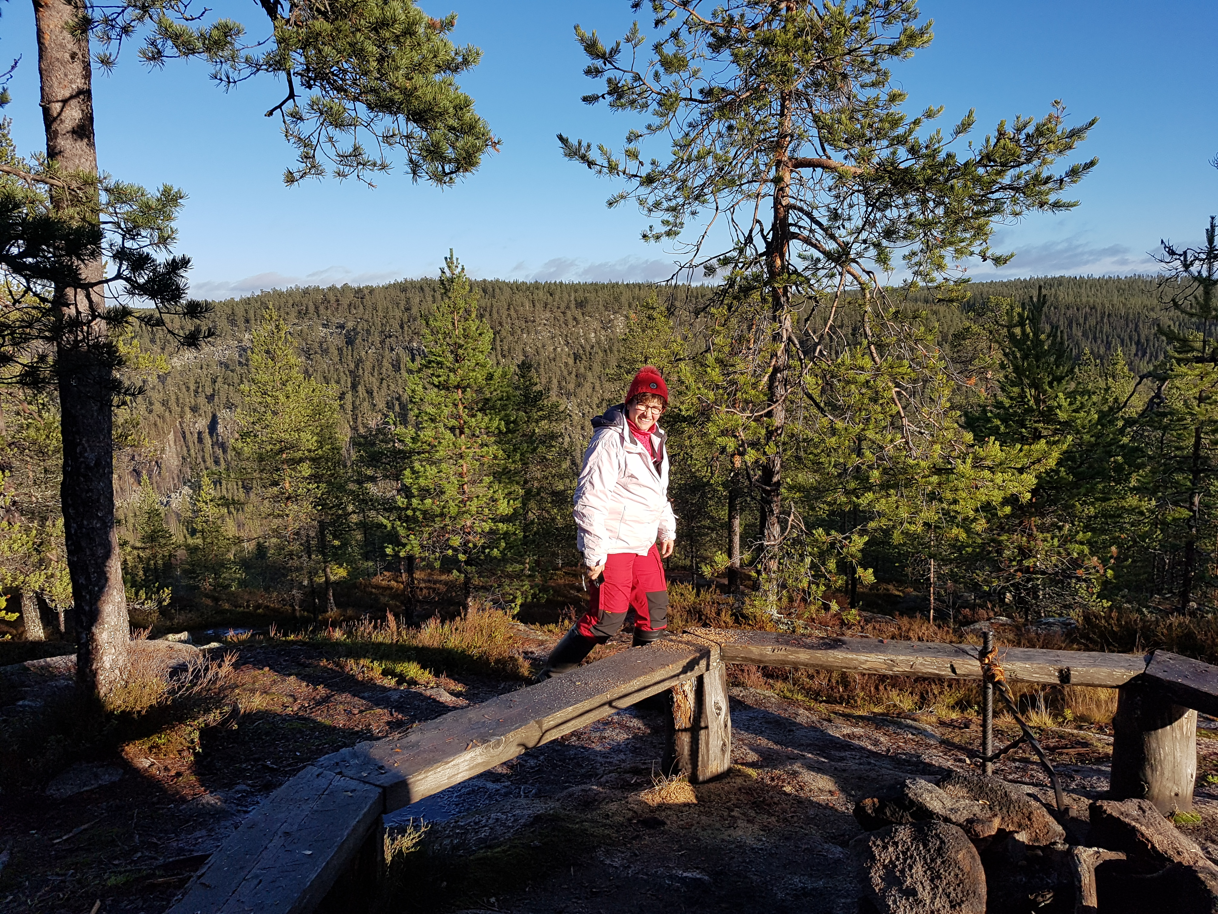
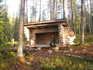
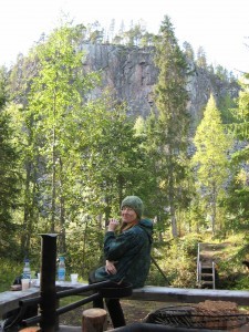
After a very hard climbing up the wall we got rewarded! A fantastic view of the canyon and a very nice and cosy fire place.

Climbing down was really much easier, even though we had to be careful where we put our feet. The dog did not have any problems climbing up or down. And he could drink the water from different wells and from the river. I probably did not drink enough during the hard hike and I had to cope with a minor liquid loss as I returned home.

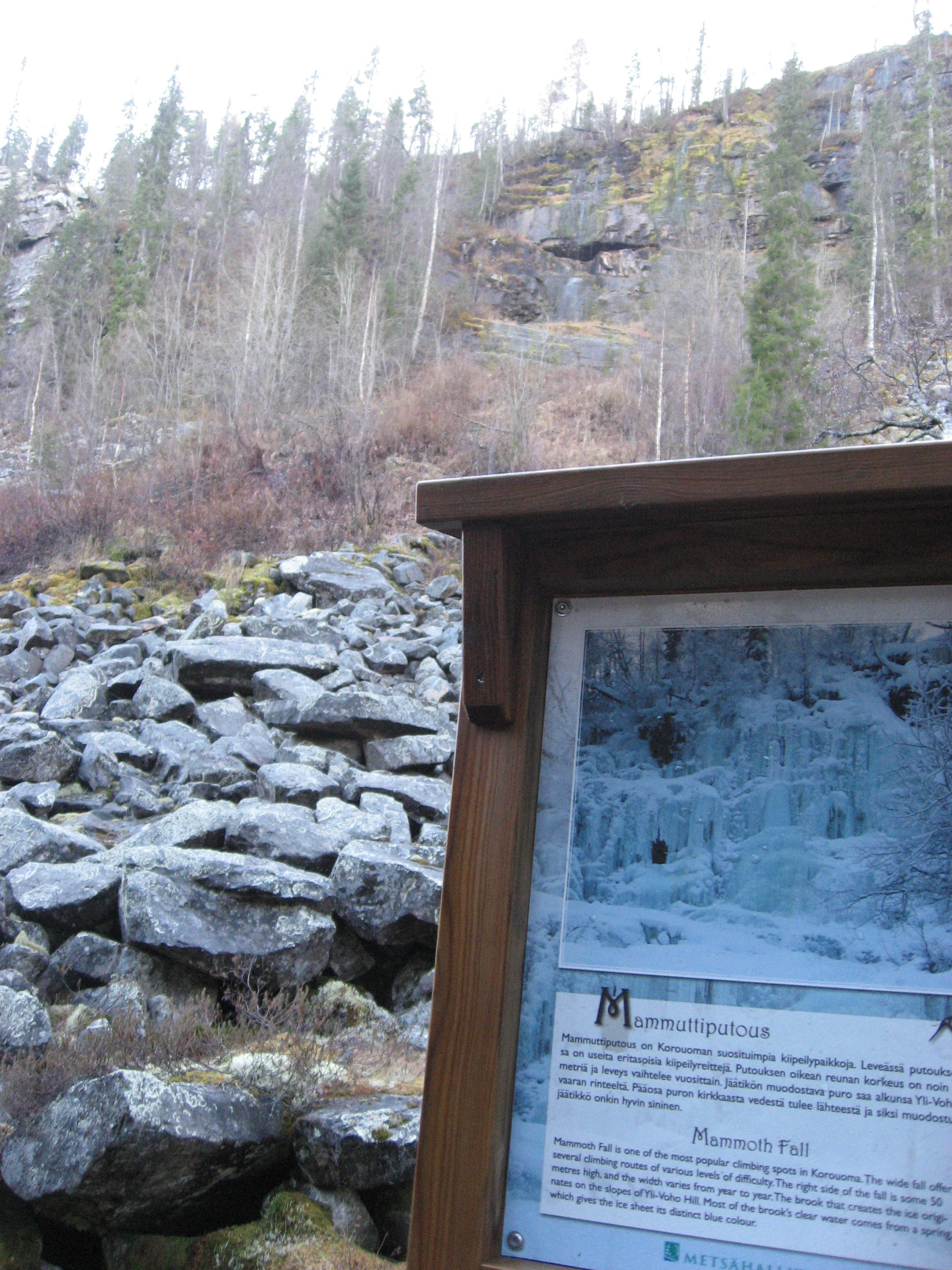
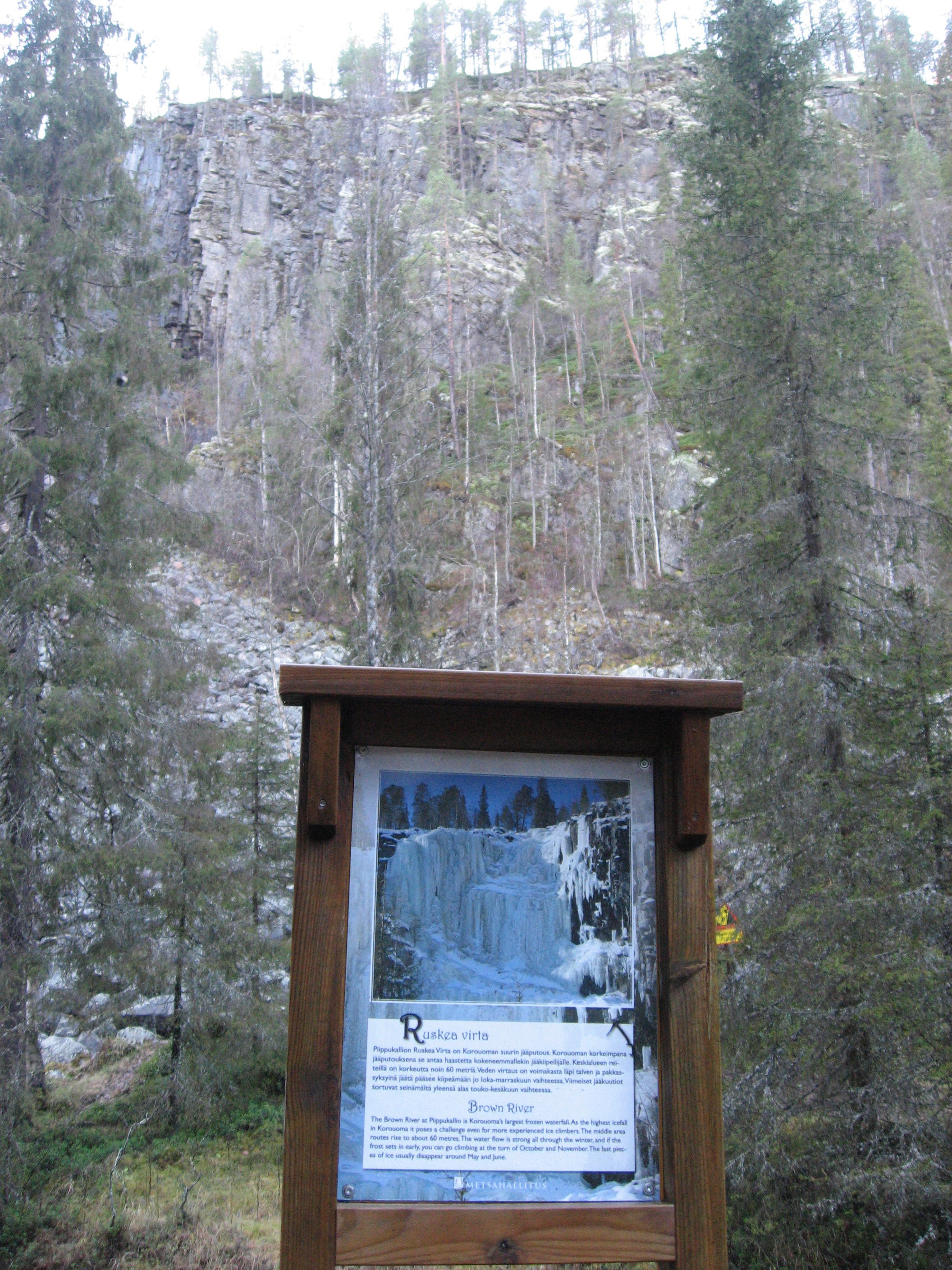
After a refreshing break at the fireplace we continued. The path lead us to the places for the spectacular winter ice climbing places: Ruskea virta, Mammuttiputous and Jaska Jokunen. I can only imagine what they look like in the winter with the thick ice covering the walls.

The last part of the hike, the 1,8 km leading us back to the car was all about ups and downs all the way. Steep up and steep down all the time. Really testing our legs and knees. And we found them still going strong and the only problem I had was I was all sweaty and started to freeze as we arrived to the car. I was really freezing and shaking as I got home with my wet clothes on. But after changing clothes and drinking a lot of liquid I am all ok again and ready for the next hike.

An autumn day with experiences for body and soul in Pyytöuoma Nature Park

After a warm and exceptional long summer time this year in Finnish Lapland the autumn now announces its arrival with lower outdoor temperatures and the leaves falling off the trees.

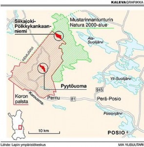
Still you can enjoy fantastic and fabulous hiking day trips all over Lapland on the large amount of suitable hiking paths in the forests or on the fells. One of the most beautiful hiking paths for a day trip  in the forest is the path of Pyytöuoma in Posio in the east of Lapland near the Russian border. This is not far away from Korouoma canyon, where I have hiked before.

pyytöuoma

IMG_9264Some people like to hike in the open areas on top of fells, but I like it very much to walk through forests and learn about the wild life and the nature of the Lappish forest. The environment is also changing all the time; sometimes you cross a little river and sometimes you have to climb up along a wall of the cliffs a bit and many times the path goes over swamps on duckboards, And almost certainly you find a fire-place where you can stop for a while and just sit down and enjoy your picnic and the surrounding views.

IMG_2628To find this Pyytöuoma, you drive by car along road nr 81 from Rovaniemi towards Posio. About 37 kms before Posio you turn left on to a sandy road leading you about 8 kms to a parking area where you can leave your car. From here the 3,7 km long nature path starts. The path circles in a beautiful scenery along the Pyytöuoma riverbed and cliffs. There are some steep places where you go down to the bottom of the canyon and also places where you approach up from the canyon again, but the path is very well suitable even for family day trips.
Pyytötuoma area is protected and almost in its natural state. There are rare species of flora and fauna living in the ancient forests of Pyytöuoma. If you are interested, along the path there are 12 info signs about the nature and forest management of the area.

IMG_0111After a while, almost halfway, you are walking on the bottom of the canyon and you cross a little river. In case you have your fishing equipment with you, you can always try to catch the rare river trout (brown trout), which lives in these kinds of small rivers in the Lappish forests. But from here the path starts rising again up on the other side of the riverbed. This is the most trying part of the path but once you end up on top of the cliff  you will get your reward. The view is just astonishing and there is also a beautiful fire-place waiting for you. The picnic you brought with you should be enjoyed here by the fire. There is a sign also telling that there is a well here near by, but I did not manage to find it, but I probably did not try hard enough.

IMG_0106 IMG_0114

After a deserved pause the hike can continue. Now the path leads you through the forest and the information signs tell you about the work in the forest and how the Finnish Forest and Park Service has planned to keep the natural state of Pyytöuoma with as little incite in the nature as possible.

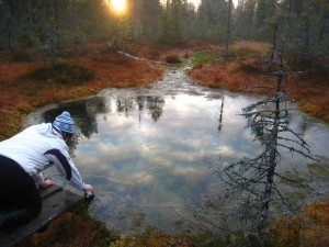
IMG_9271After a walk along a duck board you see a small “lake” or just a body of water in the middle of the swamp. The water is clear and it tempts you to taste it. I found out by tasting that it is clear and ice-cold and also good tasting.

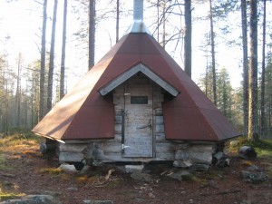
Finally in the end of the path we end up at a “laavu” or a covered fire-place. This was a day trip for us, but if you choose to make a several days stay in the forest, this laavu could be the place to stay over night at this time of the year. You could keep yourself warm at the fire-place and in case of rain you would stay dry.

IMG_0099

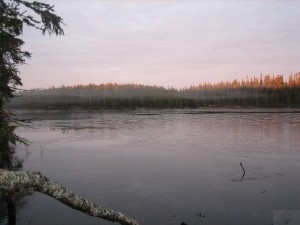
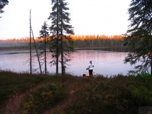
This was a very interesting and enjoyable day trip for me both because of the exercise my body got by climbing and walking and the soul could just rest in the beauty of the nature of this canyon and the surrounding nature. In the evening the temperature lowered to nearly 0 degrees and you could see a thin ice coat on the surface of a lake near by.

IMG_0121

IMG_9281


Hiking in Korouoma canyon in Lapland

Korouoma is about 30 kilometers (20 mi) long, few hundred metres wide and up to 130 m (430 ft) deep canyon at Posio about 200 km east from Rovaniemi. The entire area is natural reserve. At the bottom of the canyon there is the very narrow Korojoki River, which ends up to Kemijoki river, which is also running through Rovaniemi. Kemijoki river makes a great impact on the Lappish nature as it flows through different places on its way out to the sea near Kemi city. Korouoma offers great opportunities for hiking and enjoying the nature.

Korouoma is a fairly popular hiking area. There is a marked hiking path at the bottom of the Korouoma and several fireplaces, huts and cabins. Finnish Administration of Forests takes care of the routes and hiking related infrastructure there. Korouoma with its steep cliffs and the frozen pouring water is also the best place in Finland to do ice climbing, and also climbing in the summer is popular.

As I made a hiking trip together with a good friend we only made a part of the 30 kilometers but the nature was outstanding. In ancient times there has been a kind of earth quake that has formed the place to a canyon with steep cliffs on both sides. There is said to be some bears’ dens, too. I am glad we did not meet any bears.

We partly walked along the Korojoki river but we also took the over 100 steps of a stair leading up to the top of the cliff; a condition testing achievement. It was much easier to walk down again. We stopped at a fireplace, i.e. a hootchie or laavu, and had our break before we returned to the parking where our car was waiting. I dream of the day I can make the whole Korouoma hiking, 30 km. Here you find more hiking routes in Lapland and other places in Finland. .

IMG_2538

IMG_2509 IMG_2545

IMG_2511 IMG_2498