Korouoma is a fairly popular hiking area. There is a marked hiking path at the bottom of the Korouoma and several fireplaces, huts and cabins. Finnish Administration of Forests takes care of the routes and hiking related infrastructure there. Korouoma with its steep cliffs and the frozen pouring water is also the best place in Finland to do ice climbing, and also climbing in the summer is popular.
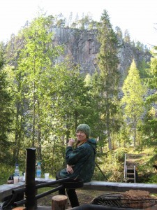
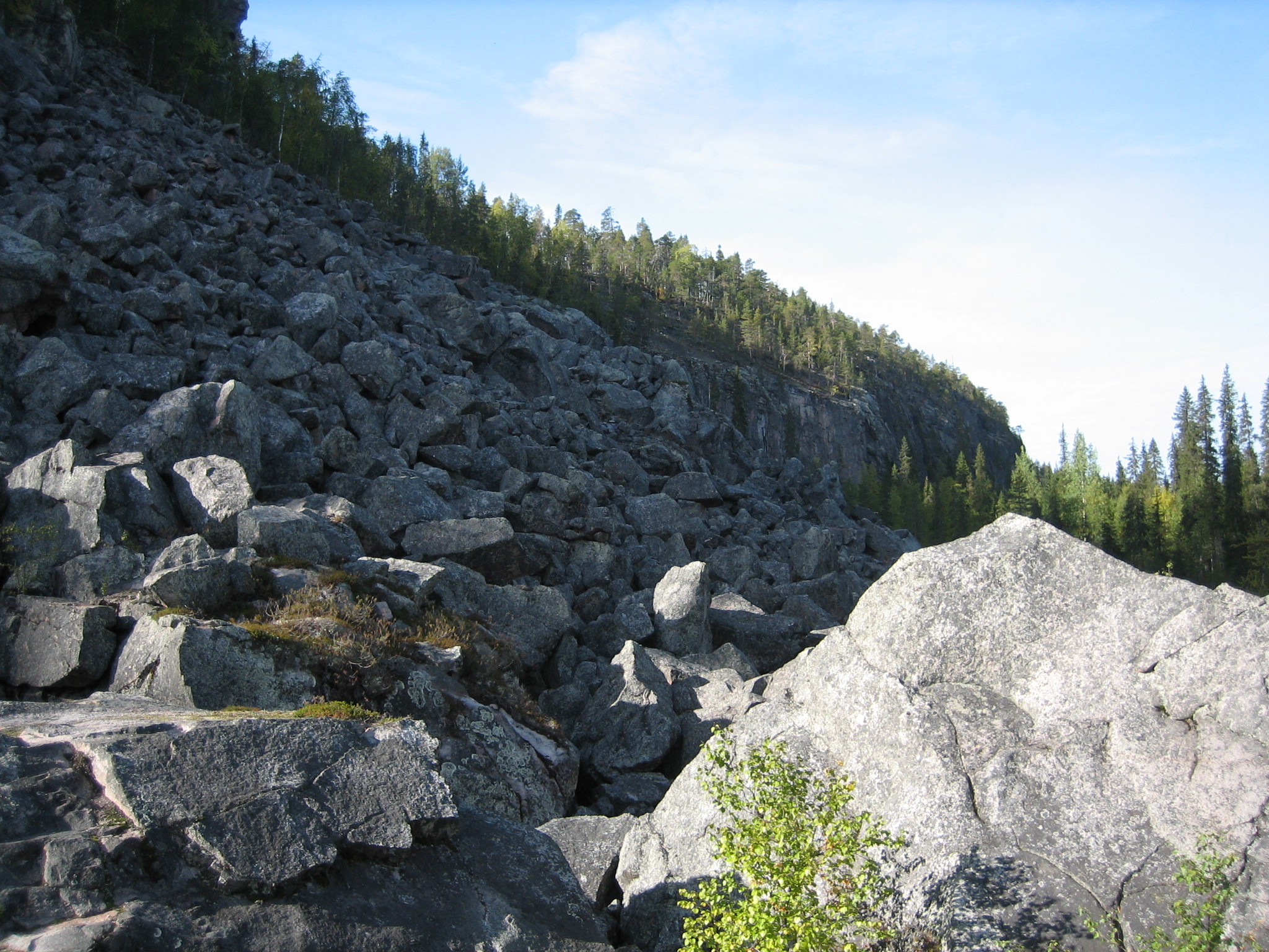
As I made a hiking trip together with a good friend we only made a part of the 30 kilometers but the nature was outstanding. In ancient times there has been a kind of earth quake that has formed the place to a canyon with steep cliffs on both sides. There is said to be some bears’ dens, too. I am glad we did not meet any bears.
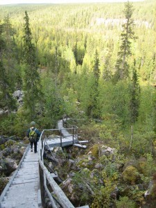
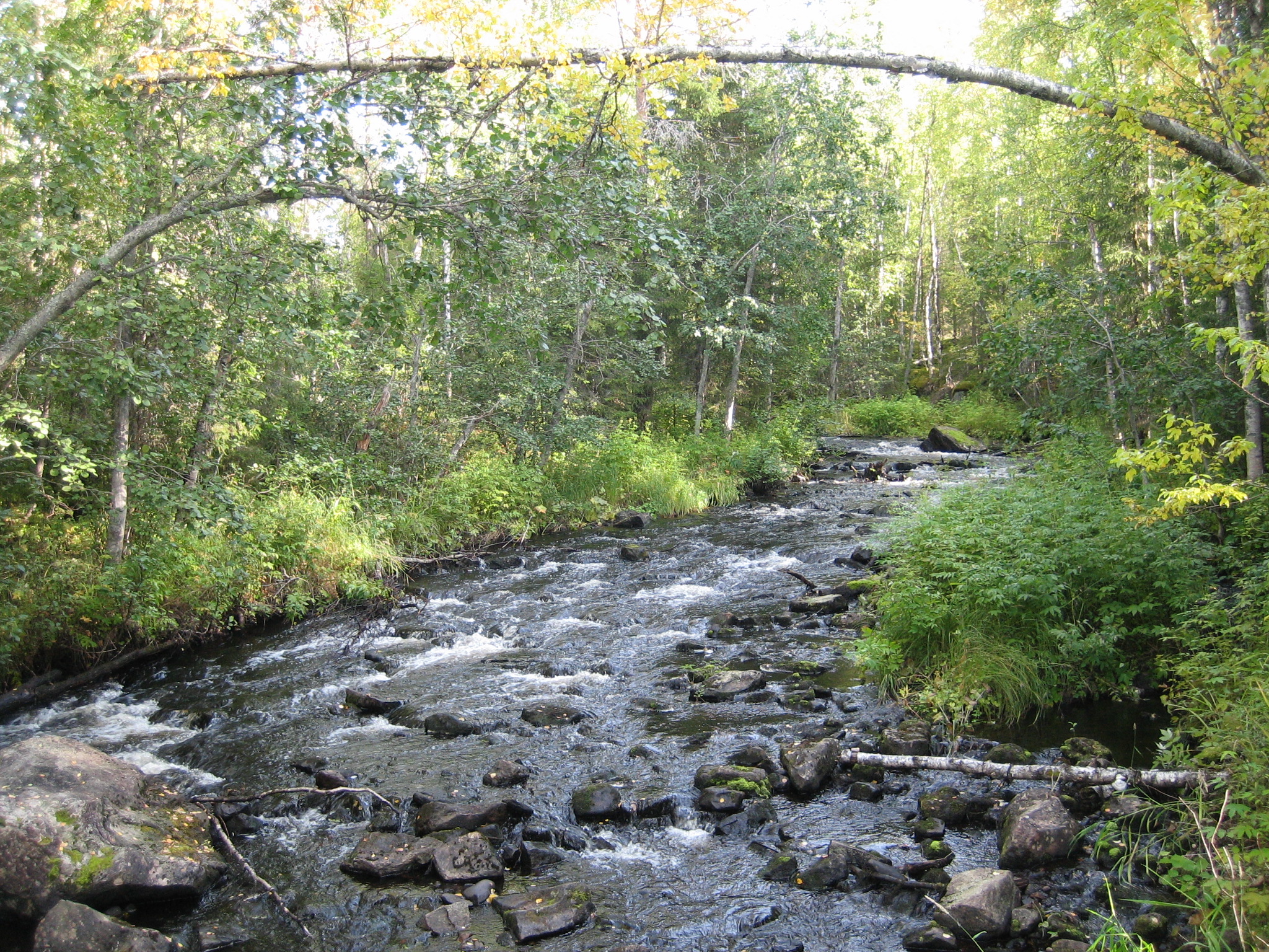
We partly walked along the Korojoki river but we also took the over 100 steps of a stair leading up to the top of the cliff; a condition testing achievement. It was much easier to walk down again. We stopped at a fireplace, i.e. a hootchie or laavu, and had our break before we returned to the parking where our car was waiting. I dream of the day I can make the whole Korouoma hiking, 30 km. Here you find more hiking routes in Lapland and other places in Finland. .


